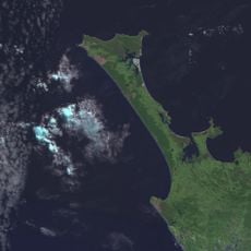
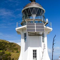
Northland Region, Administrative region in northern New Zealand.
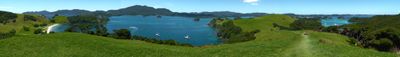
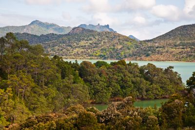
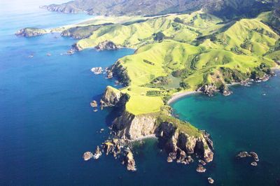
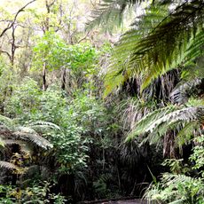
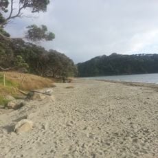
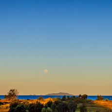
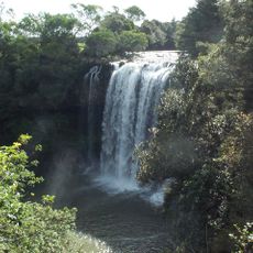
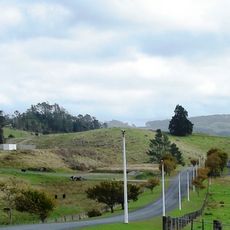
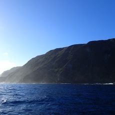
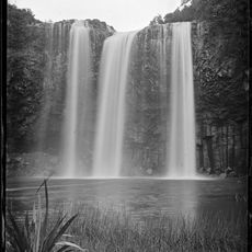
Northland Region is an administrative territory on the northern peninsula of New Zealand that stretches between the Tasman Sea and the Pacific Ocean, marked by numerous bays and coastal sections. The landscape shifts between hills, forested areas, farmland, and long sandy beaches extending over hundreds of kilometers.
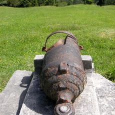
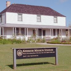
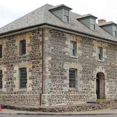
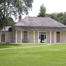
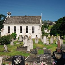
This territory was the first settlement area for the Māori in New Zealand and later the site of early European expeditions during the 18th century. The Treaty of Waitangi, signed in 1840, established the legal foundation for the relationship between indigenous tribes and the British government.
The territory takes its name from its geographic position at the northernmost tip of the country and is known as the ancestral home of the Māori, who arrived here centuries ago. Today, visitors find marae, traditional meeting grounds where ceremonial welcomes and gatherings take place, offering insight into living customs.
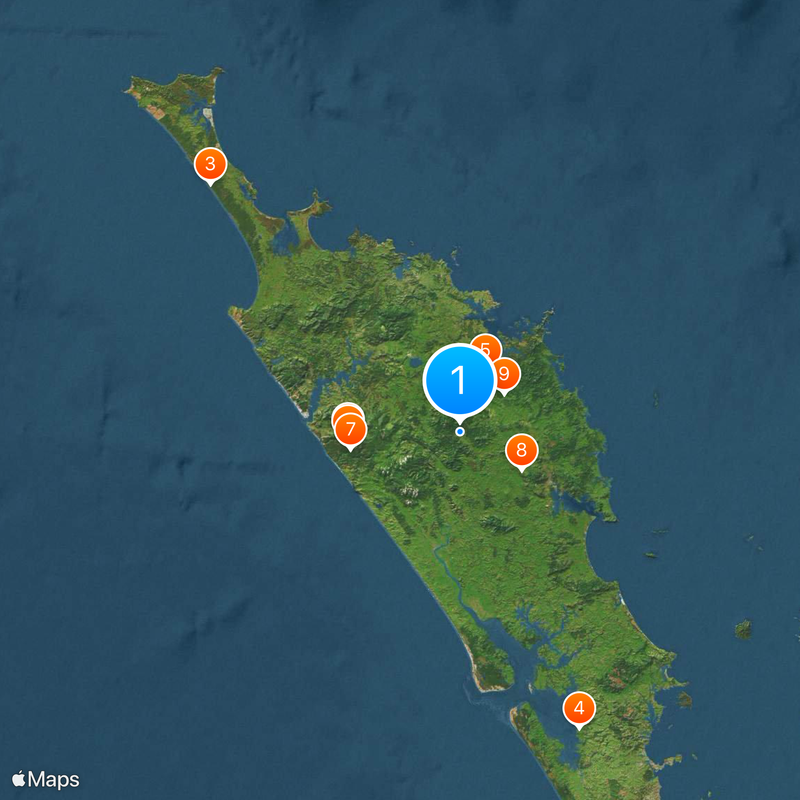
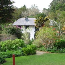
Visitors reach this territory by rental car or long-distance buses that run along main highways and connect multiple towns. Lodging ranges from motels and campgrounds to holiday homes spread throughout the area.
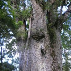
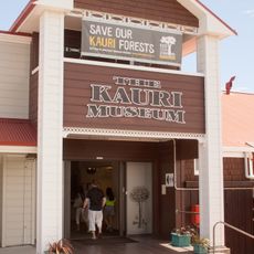
In the Waipoua Forest area stands Tāne Mahuta, a giant kauri tree that rises more than 50 meters (165 feet) and is estimated to be over 2000 years old. This tree carries the name of the Māori god of the forest and is held sacred by local communities.
The community of curious travelers
AroundUs brings together thousands of curated places, local tips, and hidden gems, enriched daily by 60,000 contributors worldwide.