Whangapoua Beach, Beach on Great Barrier Island, Auckland Region, New Zealand
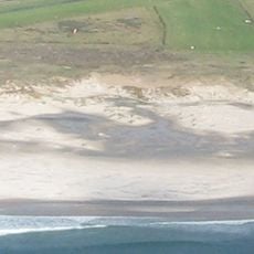
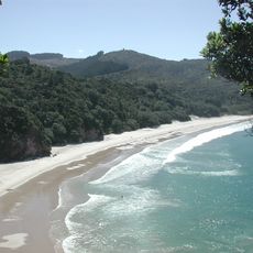
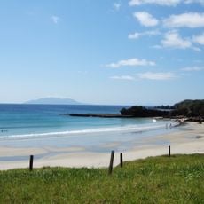
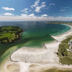
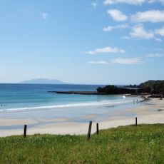
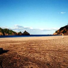
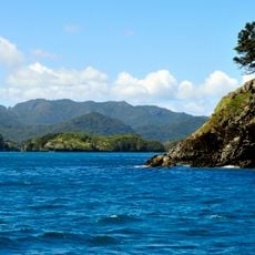
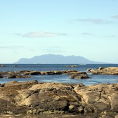
Whangapoua Beach is a north–south sandy beach on the east coast of Great Barrier Island, not the Coromandel Peninsula. It faces Rakitu Island, and Whangapoua Creek enters the sea at its southern end after draining estuarine wetlands. A Department of Conservation camping ground sits by the estuary next to Okiwi Airfield.
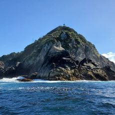
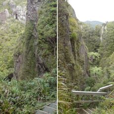
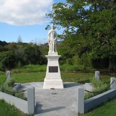
Ngātiwai have traditionally lived in the Whangapoua area. On 24 October 1894 the SS Wairarapa ran aground at Miners Head; survivors who reached land were cared for by Ngātiwai, and many of those who drowned were buried at Tapuwai Point at the northern end of the beach, reached by the Wairairapa Graves Walkway.
Ngātiwai have traditionally lived around Whangapoua Beach on Great Barrier Island. The name Whangapoua is shared with a Coromandel Peninsula settlement, so visitors should not confuse the two. The beach is reached from Mabey Road or by walking across the estuary flats from the camping ground.
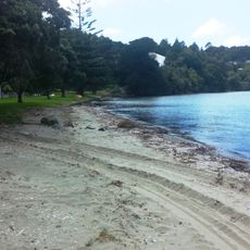
The beach is on Great Barrier Island, not the Coromandel Peninsula. A Department of Conservation camping ground sits on the southern side of the Whangapoua Creek estuary, next to Okiwi Airfield; it is staffed from Christmas Day to Auckland Anniversary Day, dogs are banned and there are no rubbish or recycling bins. The northern part of the beach is reached from Mabey Road. The Harataonga Coastal Walkway begins one kilometre south-east of the airfield and takes 4–5 hours.
The SS Wairarapa ran aground at Miners Head on 24 October 1894; many of those who drowned were buried at Tapuwai Point, at the northern end of the beach, reached by the Wairairapa Graves Walkway.
The community of curious travelers
AroundUs brings together thousands of curated places, local tips, and hidden gems, enriched daily by 94,534 contributors worldwide.