
Awaroa Homestead, historic building in Otakiri, New Zealand
Location: Whakatāne District
Address: 281C Hallett Road, Otakiri
GPS coordinates: -38.00942,176.76197
Latest update: March 10, 2025 09:02
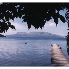
Mount Tarawera
32.5 km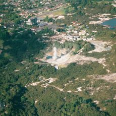
Whakarewarewa
47.5 km
Waimangu Geyser
44 km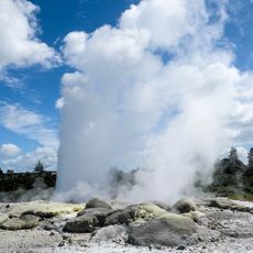
Pohutu Geyser
47.7 km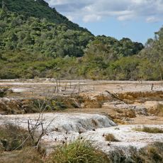
Waimangu Volcanic Rift Valley
44 km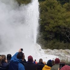
Lady Knox Geyser
50.8 km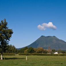
Putauaki
11 km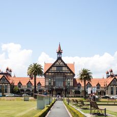
Rotorua Museum
46.3 km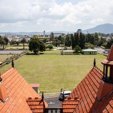
Government Gardens
46.4 km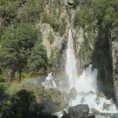
Tarawera Falls
27.2 km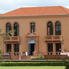
Blue Baths
46.4 km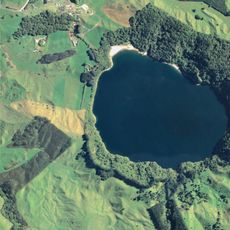
Lake Rotokawau
34.5 km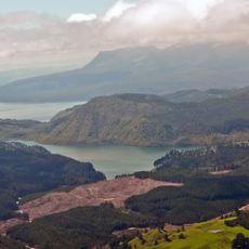
Okataina caldera
25.9 km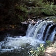
Kerosene Creek Waterfall
49 km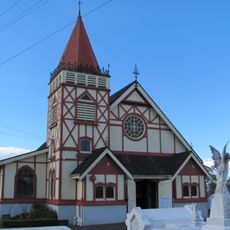
Te Hāhi o te Whakapono / St Faith's Anglican Church Ohinemutu
46.9 km
Tutea Falls
36.6 km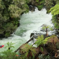
Okere Falls
36.6 km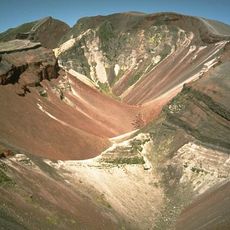
Okataina
26.1 km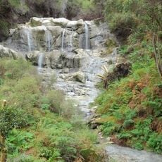
Kakahi Falls
35.8 km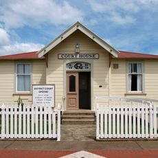
Court House
45.8 km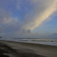
Pukehina Beach
34.8 km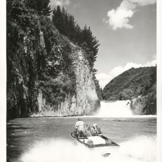
Āniwaniwa Falls
31.8 km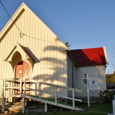
St Thomas's Church
38.6 km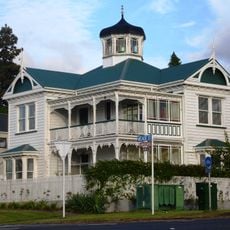
Kusabs House
47.6 km
Tapuiwahine Flat
31.2 km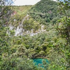
Rainbow Mountain Scenic Reserve
47.7 km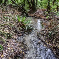
Hinehopu Scenic Reserve
22.9 km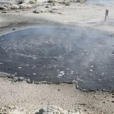
Hell's gate
35.7 kmReviews
Visited this place? Tap the stars to rate it and share your experience / photos with the community! Try now! You can cancel it anytime.
Discover hidden gems everywhere you go!
From secret cafés to breathtaking viewpoints, skip the crowded tourist spots and find places that match your style. Our app makes it easy with voice search, smart filtering, route optimization, and insider tips from travelers worldwide. Download now for the complete mobile experience.

A unique approach to discovering new places❞
— Le Figaro
All the places worth exploring❞
— France Info
A tailor-made excursion in just a few clicks❞
— 20 Minutes