Flinders Ranges, Mountain range in South Australia.
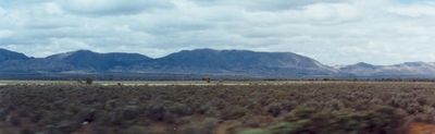
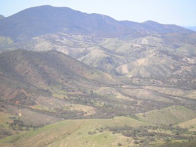
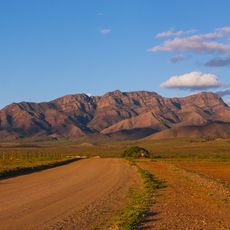
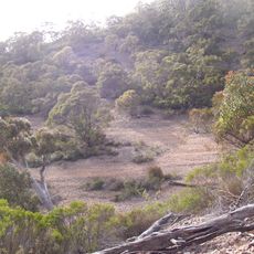
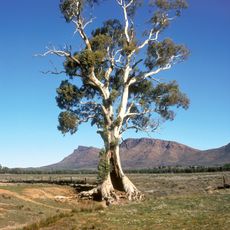
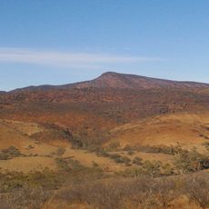
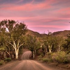
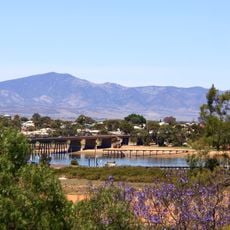
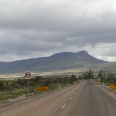
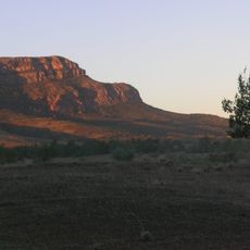
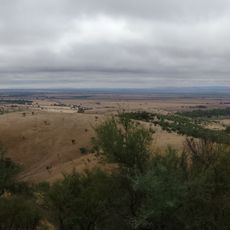
The Flinders Ranges are a mountain range stretching roughly 430 kilometers north from Port Pirie, defined by red sandstone ridges and deep valleys throughout. The terrain includes steep ridges, gorges, and open areas that shape the overall landscape.
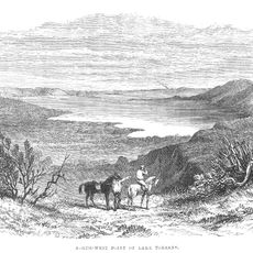
Matthew Flinders mapped these mountains in 1802, opening the region to European settlement and pastoral farming that began in the 1850s. Grazing operations became a lasting economic presence for many decades.
The Adnyamathanha people left rock art and sacred sites throughout these mountains that visitors can encounter today. These places remain central to the identity of the local community.
The area includes several hiking trails of varying difficulty, camping areas, and lodging throughout Ikara-Flinders Ranges National Park and surrounding reserves. Bring plenty of water and supplies since the region is remote.
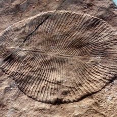
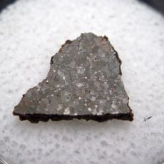
The Ediacara Hills contain some of Earth's oldest fossils, with remains of animal life from the Precambrian period preserved in the rock. These ancient traces offer glimpses into life before most modern animals evolved.
The community of curious travelers
AroundUs brings together thousands of curated places, local tips, and hidden gems, enriched daily by 60,000 contributors worldwide.