
Cornelia, parish of Cumberland County, New South Wales, Australia
Location: Cumberland
Location: City of Hawkesbury
GPS coordinates: -32.99833,150.00111
Latest update: May 28, 2025 20:02
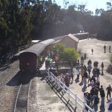
Zig Zag Railway
55.7 km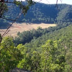
Wollemi National Park
31.1 km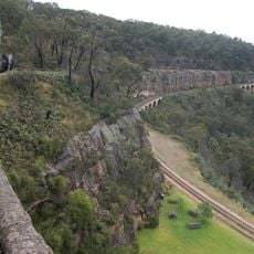
Lithgow Zig Zag
55.5 km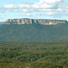
Gardens of Stone National Park
17.8 km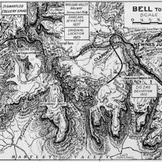
Ten Tunnels Deviation 1910
58.6 km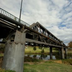
Denison Bridge
60.2 km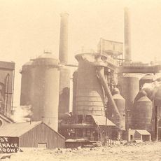
Lithgow State Mine Heritage Park & Railway
53.8 km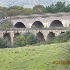
Bowenfels rail viaducts
54.1 km
Grave of Windradyne
51.6 km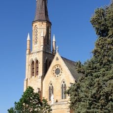
St. Mary's Roman Catholic Church, Presbytery, Convent & Hall
59.5 km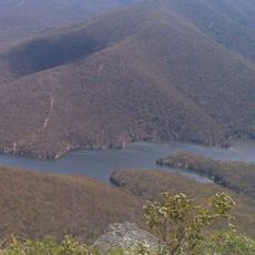
Winburndale Dam
48.3 km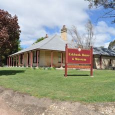
Eskbank House
55.6 km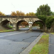
Lithgow Underbridge
55.6 km
Marrangaroo railway viaduct
50 km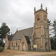
St John the Evangelist Church, Wallerawang
45.4 km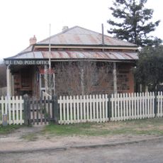
Hill End Historic Site
54.7 km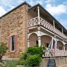
Bridge View Inn
22.8 km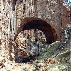
Golden Gully and Archway
54.7 km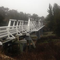
Wallaby Rocks Bridge
33.8 km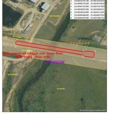
Coxs River railway bridges, Wallerangang
46 km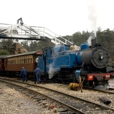
Cooerwull railway footbridge
55.5 km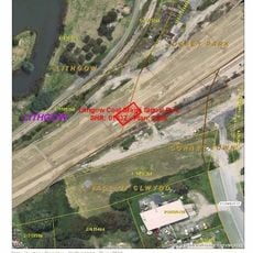
Lithgow Coal Stage Signal Box
55.4 km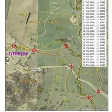
Rydal rail underbridges
57.7 km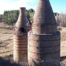
Raffan's Mill and Brick Bottle Kilns
39.1 km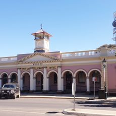
Mudgee Post Office
59.8 km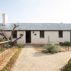
Old Government Cottages Group, Bathurst
60.2 km
Lithgow Small Arms Factory Museum
56 km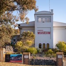
Kandos Museum
15.6 kmReviews
Visited this place? Tap the stars to rate it and share your experience / photos with the community! Try now! You can cancel it anytime.
Discover hidden gems everywhere you go!
From secret cafés to breathtaking viewpoints, skip the crowded tourist spots and find places that match your style. Our app makes it easy with voice search, smart filtering, route optimization, and insider tips from travelers worldwide. Download now for the complete mobile experience.

A unique approach to discovering new places❞
— Le Figaro
All the places worth exploring❞
— France Info
A tailor-made excursion in just a few clicks❞
— 20 Minutes