City of Hawkesbury, Administrative division in New South Wales, Australia
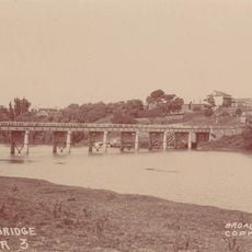
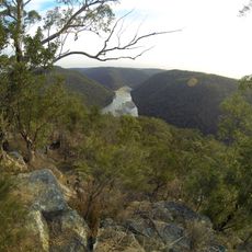
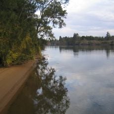
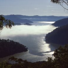
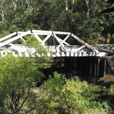
Hawkesbury is an administrative area located northwest of Sydney that combines towns and villages with farmland and rural areas. The region covers approximately 2,776 square kilometers and is shaped by the Hawkesbury River, which flows through the landscape.
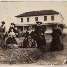
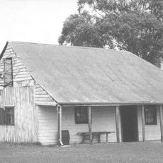
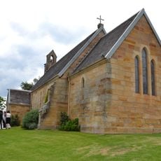
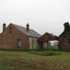
The territory was originally home to the Darug people before European settlement began in 1794 with the establishment of farms to support colonial Sydney. These early settlements shaped the foundation of what would become the region's communities and infrastructure.
The Hawkesbury Regional Gallery and Museum display exhibitions that trace the area's story from Aboriginal cultures through to modern times. You can see how the landscape and community have developed through these local perspectives.
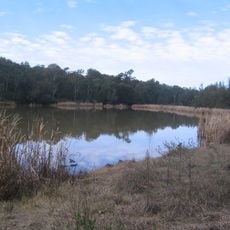
Visitors will find a mix of town centers and open landscapes spread across the area, best accessed by car or bus. The region is easiest to explore during mild weather months when roads are in good condition and attractions are accessible.
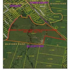
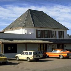
The area contains five original colonial towns established under Governor Macquarie that still retain their historical street patterns and layouts. These settlements form a remarkable network of early European settlement patterns that remain visible in their organization today.
Location: New South Wales
Inception: 1989
Capital city: Windsor
Elevation above the sea: 250 m
Phone: +61245604444
Email: council@hawkesbury.nsw.gov.au
Website: http://hawkesbury.nsw.gov.au
GPS coordinates: -33.41667,150.78333
Latest update: December 20, 2025 14:35
Photo license: CC BY-SA 4.0
Australian Convict Sites
20.1 kmAmaroo Park
29.6 km
Great North Road
20 km
Ebenezer Church
16.7 km
Norman Lindsay Gallery and Museum
35.9 km
Windsor Bridge
21.1 km
Rouse Hill House
31.1 km
Australiana Pioneer Village
17.6 km
Berowra Valley National Park
37.8 km
Scheyville National Park
22.2 km
Cattai National Park
21.2 km
Clydesdale, Marsden Park
29.7 km
Dharug National Park
26.5 km
Rose Cottage, Wilberforce
17.4 km
Marramarra National Park
31.7 kmMacquarie Arms Hotel
21.3 km
Bird In The Hand Inn
20.2 kmBox Hill House
28.4 km
Tunks Creek bridge, Galston
39 km
St John's Anglican Church and Macquarie Schoolhouse
16.4 kmPeninsula House and Tebbutt's Observatory
21.7 kmRichmond Park
20.4 kmHobartville
20.4 kmBerowra Valley Regional Park
39 kmYobarnie Keyline Farm
20.1 km
Box Hill Inn
28.7 kmOld Great North Road
20.1 kmWindsor Court House
21.4 kmVisited this place? Tap the stars to rate it and share your experience / photos with the community! Try now! You can cancel it anytime.
Discover hidden gems everywhere you go!
From secret cafés to breathtaking viewpoints, skip the crowded tourist spots and find places that match your style. Our app makes it easy with voice search, smart filtering, route optimization, and insider tips from travelers worldwide. Download now for the complete mobile experience.
A unique approach to discovering new places❞
— Le Figaro
All the places worth exploring❞
— France Info
A tailor-made excursion in just a few clicks❞
— 20 Minutes