Marramarra National Park, Nature reserve in Hawkesbury region, northwestern Sydney, Australia.
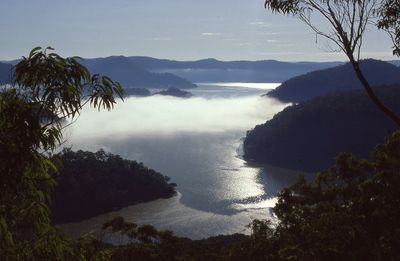
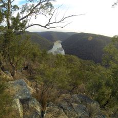
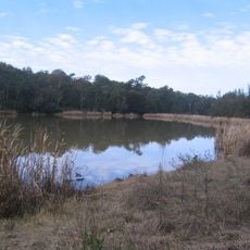
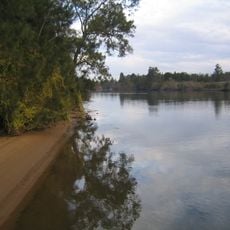
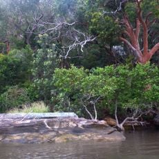
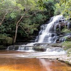
Marramarra National Park is a nature reserve covering more than 11,000 hectares where two distinct landscapes meet and blend. Mangrove communities line Marramarra Creek in the lower areas, while drier sclerophyll scrub covers the higher ridges throughout the park.
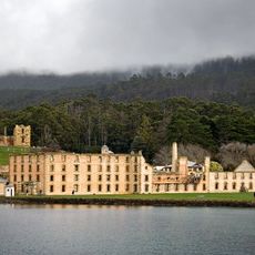
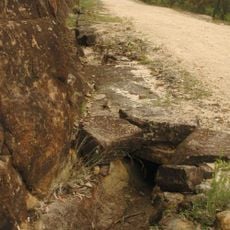
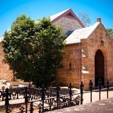
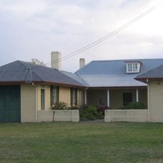
The park was officially established as a protected area in December 1979 after serving for generations as a homeland for the Darug people and later as a frontier for European settlers. Nineteenth-century evidence of early colonial settlement remains visible within its boundaries today.
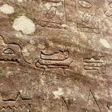
The Darug Aboriginal people shaped this land over countless generations, leaving rock engravings, cave art, and grinding grooves visible throughout the park. These marks tell the story of how they lived within these forests and waterways.
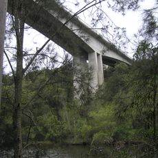
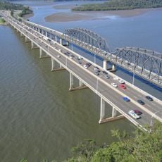
You can reach the park by following Old Northern Road from Wisemans Ferry or by taking Galston Road through Galston Gorge when arriving from Hornsby. Different entry points offer varying access to trails and water activities, so plan your route depending on what you want to explore.
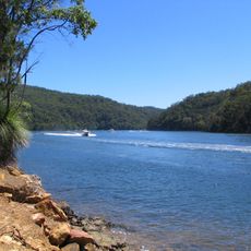
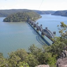
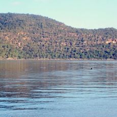
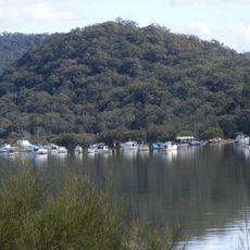
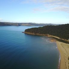
The park sits where Hawkesbury River and Berowra Creek converge, creating a special place for water-based recreation that many visitors do not fully explore. Swimming, kayaking, and fishing spots exist throughout the waterways, offering experiences beyond the typical hiking and mountain biking trails.
The community of curious travelers
AroundUs brings together thousands of curated places, local tips, and hidden gems, enriched daily by 60,000 contributors worldwide.