Berowra Valley National Park, Protected wilderness area in northern Sydney, Australia
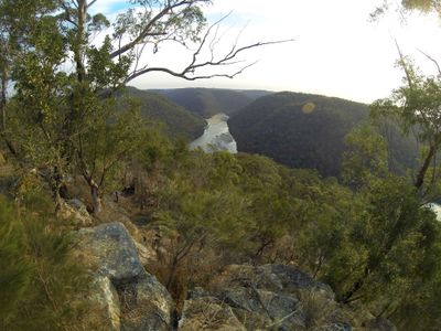
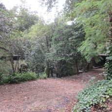
Berowra Valley National Park spans roughly 3,900 hectares of bushland with varied terrain, ranging from sandstone ridges to deep valleys carved along Berowra Creek. The landscape displays significant elevation changes and shows the natural geology of this protected area north of Sydney.
The area was first designated as Elouera Bushland Natural Park, then reclassified as a Regional Park in 1998, and finally received national park status in 2012. These designation changes reflect growing recognition of the ecological value of this wilderness.
The name Berowra comes from Aboriginal language and refers to a place of many winds, reflecting traditional knowledge about local weather patterns. This connection between the landscape and natural phenomena is still visible in how the terrain shapes wind flow through the valleys and ridges.
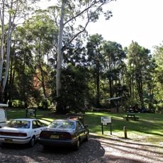
The park features over 70 kilometers of walking tracks and fire trails with facilities at Crosslands Reserve for picnicking and rest. Visitors should prepare for uneven terrain and be ready for weather conditions that can change quickly in valleys and ridges.
The park gained attention from an extreme survival case where someone endured nine weeks in the wilderness during intense heat. This incident highlights the serious challenges and dangers that visitors might face if they become lost or encounter difficult conditions.
The community of curious travelers
AroundUs brings together thousands of curated places, local tips, and hidden gems, enriched daily by 60,000 contributors worldwide.