Popran National Park, Nature reserve in Central Coast Council, Australia
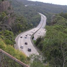
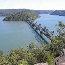
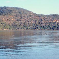
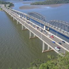
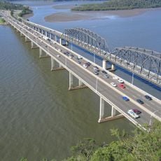
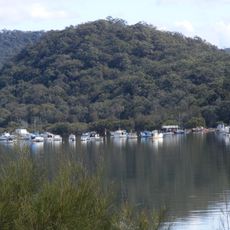
Popran National Park is a 3,970-hectare national park west of the M1 Pacific Motorway in the Central Coast region of New South Wales, 95 kilometres north of Sydney. It consists of five separate sections, mostly between Mangrove Creek and Popran Creek, on a sandstone plateau cut by Mangrove, Popran and Ironbank creeks. It borders Dharug National Park to the west, Brisbane Water to the east and Marramarra to the south.
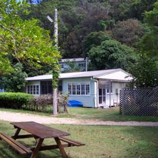
Popran National Park was declared on 30 November 1994. The Dharug and Ku-ring-gai peoples lived in the area for 11,000 years, and their sites remain in the park. Timber was cut here from the first days of European settlement until about 1980, and farms were granted to released convicts; the last settlers left in the mid-20th century as transport costs to Sydney rose.
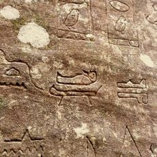
The national park holds numerous Aboriginal sites that document the connection between indigenous communities and this section of New South Wales territory.
The park is made up of five separate sections between Mangrove Creek and Popran Creek, north of Lower Mangrove, with smaller parts reaching the Hawkesbury River and Calga. Access is by unsealed roads, so plan which section you want before setting out. The Dharug, Brisbane Water and Marramarra national parks border it on the west, east and south.
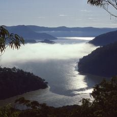
A lookout point offers views over sandstone ridges, while walking paths pass through mangrove areas. These trails show places where freshwater and saltwater meet.
The community of curious travelers
AroundUs brings together thousands of curated places, local tips, and hidden gems, enriched daily by 93,465 contributors worldwide.