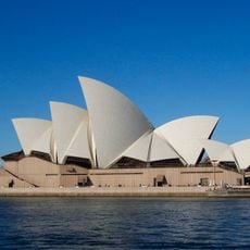
Bennelong Point, Historic point in Sydney Central Business District, Australia
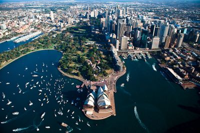
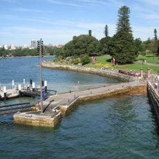
Bennelong Point is a headland extending into Sydney Harbour, defined by limestone cliffs that rise approximately 16 meters above water level. The land forms a distinctive jutting shape that creates a notable geographical feature on the harbour.
The area transformed from a tidal island into connected land in 1818 when rocky rubble was used to fill the gap for constructing Fort Macquarie. This reshaping permanently joined what had previously been an isolated feature to the adjacent mainland.
The Gadigal people of the Eora nation called this place Dubbagullee, where women traditionally gathered oyster shells for daily use. This knowledge of early practices remains woven into the land and stories visitors encounter here.
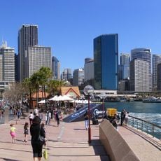
Visitors can easily arrive by ferry at Circular Quay or use the nearby railway station for access. The area is straightforward to explore on foot with several points to approach the water.
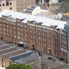
The area once held livestock pens and later a tram depot before both were excavated in the 1950s. This uncovering revealed the original structure of the former tidal island hidden beneath layers of later use.
The community of curious travelers
AroundUs brings together thousands of curated places, local tips, and hidden gems, enriched daily by 60,000 contributors worldwide.