
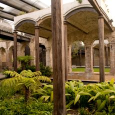
Buildings MQVB16 and VB56
Buildings MQVB16 and VB56, historic commonwealth heritage site in Paddington NSW
Location: New South Wales
Address: Oxford St, Paddington NSW
GPS coordinates: -33.88626,151.22132
Latest update: April 9, 2025 16:23
Paddington Reservoir
535 m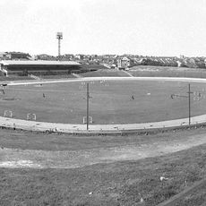
Sydney Sports Ground
273 m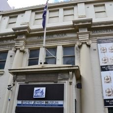
Sydney Jewish Museum
814 m
Busby's Bore
155 m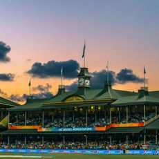
Sydney Cricket Ground Members' Stand and Lady Members' Stand
599 m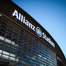
Allianz Stadium
485 m
Juniper Hall
553 m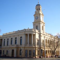
Paddington Town Hall
429 m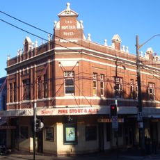
Hopetoun Hotel
516 m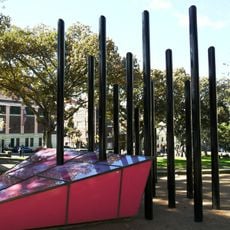
Sydney Gay and Lesbian Holocaust Memorial
773 m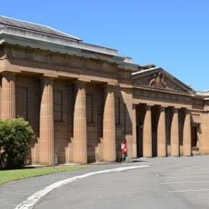
Darlinghurst Courthouse
729 m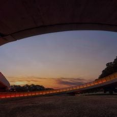
Albert Cotter Bridge
427 m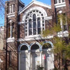
Holy Trinity Greek Orthodox Church, Surry Hills
802 m
Chinese Presbyterian Church
650 m
St Michael's Anglican Church, Surry Hills
491 m
White Horse Hotel, Surry Hills
901 m
Crown Street Public School
717 m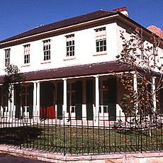
Durham Hall
461 m
Saint Sophia's Cathedral, Sydney
422 m
Crown Street Reservoir & Site
895 m
Bourke Street Congregational Church and School
675 m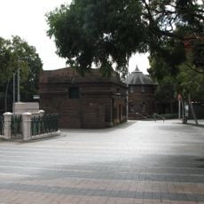
Taylor Square Substation No. 6 and Underground Conveniences
784 m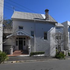
Engehurst
763 m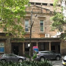
Bourke Street Wesleyan Chapel
589 m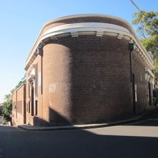
Paddington Substation
435 m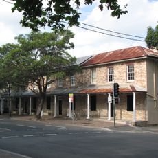
197, 199, 201 Albion Street, Surry Hills
523 m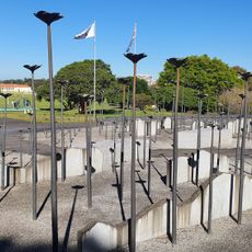
Korean War Memorial, Sydney
270 m
Brett Whiteley Studio
678 mReviews
Visited this place? Tap the stars to rate it and share your experience / photos with the community! Try now! You can cancel it anytime.
Discover hidden gems everywhere you go!
From secret cafés to breathtaking viewpoints, skip the crowded tourist spots and find places that match your style. Our app makes it easy with voice search, smart filtering, route optimization, and insider tips from travelers worldwide. Download now for the complete mobile experience.

A unique approach to discovering new places❞
— Le Figaro
All the places worth exploring❞
— France Info
A tailor-made excursion in just a few clicks❞
— 20 Minutes