
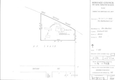
Weatherboard Inn archaelological site, historic site in New South Wales, Australia
Location: New South Wales
Inception: 1817
GPS coordinates: -33.70700,150.37390
Latest update: March 4, 2025 21:01
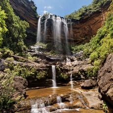
Wentworth Falls
2.3 km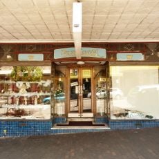
Paragon Cafe
5.8 km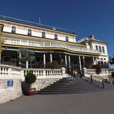
The Carrington Hotel, Katoomba
5.9 km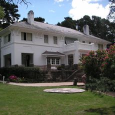
Leuralla
4.5 km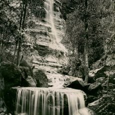
Bridal Veil Falls, Leura
5.1 km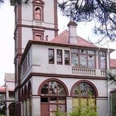
Mount St Marys College and Convent
5.5 km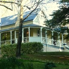
Yester Grange
2.2 km
Katoomba Post Office
5.9 km
Raeburn
5.9 km
Former bank building
5.8 km
Katoomba Exchange
5.8 km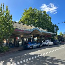
49-57 Katoomba Street, Katoomba
5.8 km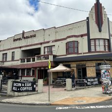
The Gearin
5.7 km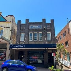
Soper Chambers
5.8 km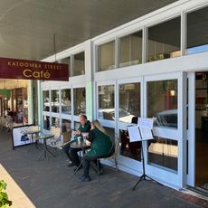
Beszant's Buildings
5.9 km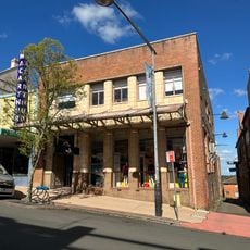
Former Bank
5.8 km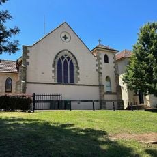
St Canice's Catholic Church
5.8 km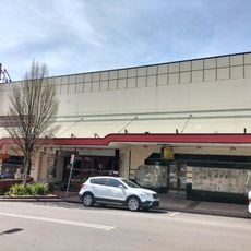
The Savoy
5.8 km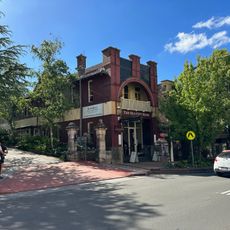
Old City Bank Bar & Brasserie
5.8 km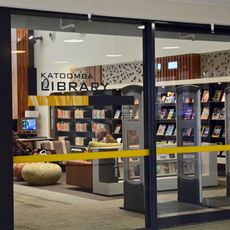
Katoomba Library
5.9 km
Embassy Cinema
5.9 km
Commercial buildings
5.8 km
Gloucester Flats
5.8 km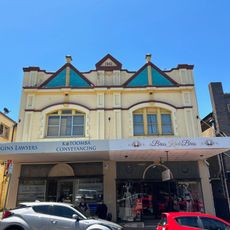
110 and 112 Katoomba Street, Katoomba
5.8 km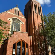
St Hilda's Anglican Church
5.8 km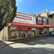
89 Katoomba Street, Katoomba
5.9 km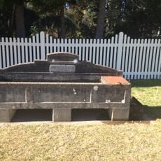
Horse trough
1.6 km
Katoomba Uniting Church
5.8 kmReviews
Visited this place? Tap the stars to rate it and share your experience / photos with the community! Try now! You can cancel it anytime.
Discover hidden gems everywhere you go!
From secret cafés to breathtaking viewpoints, skip the crowded tourist spots and find places that match your style. Our app makes it easy with voice search, smart filtering, route optimization, and insider tips from travelers worldwide. Download now for the complete mobile experience.

A unique approach to discovering new places❞
— Le Figaro
All the places worth exploring❞
— France Info
A tailor-made excursion in just a few clicks❞
— 20 Minutes