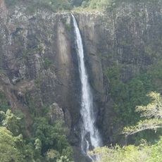
Manning River, Major river system in eastern New South Wales, Australia
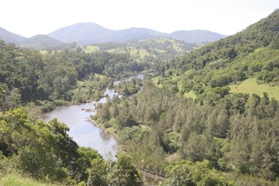
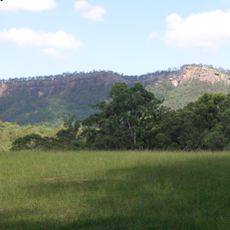
Manning River is a river system in eastern New South Wales that flows from Mount Barrington southeast through the Manning Valley, emptying into the Tasman Sea through two separate mouths. Along its course, the river winds through broad lowlands fed by numerous tributaries before spreading out into a wide delta.
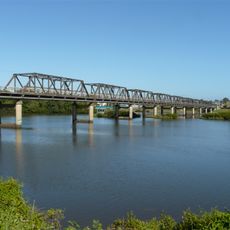
Henry Dangar surveyed the river in 1825 and named it after William Manning, Deputy Governor of the Australian Agricultural Company. European settlers soon spread along its banks, clearing land for farming and logging, which gradually changed the shape of the valley.
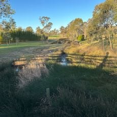
The Biripi name for this river, Boolumbahtee, is still used and recognized across the region today. Along the banks, fishing remains a central part of local life, with families gathering at the water on weekends much as they have for generations.
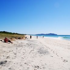
Boat ramps and fishing spots are spread along the river, making it easy to find an entry point depending on where you want to go. If you plan to visit the delta area near the mouths, check tidal conditions first, as water levels there can shift considerably.
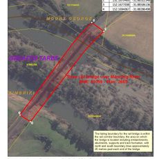
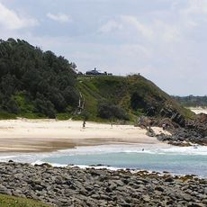
The Manning River has two permanent openings to the sea, one at Harrington and one at Old Bar, which is very rare among rivers anywhere in the world. This double delta means that tides and currents behave differently along the river than they would with a single mouth.
The community of curious travelers
AroundUs brings together thousands of curated places, local tips, and hidden gems, enriched daily by 60,000 contributors worldwide.