
Boronga State Forest
Location: New South Wales
Elevation above the sea: 191 m
GPS coordinates: -28.74861,149.70111
Latest update: May 21, 2025 16:28
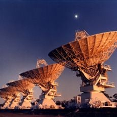
Australia Telescope Compact Array
174.7 km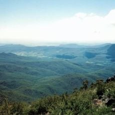
Mount Kaputar National Park
178.6 km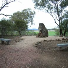
Myall Creek Massacre and Memorial Site
151.2 km
Moree Baths and Swimming Pool
82 km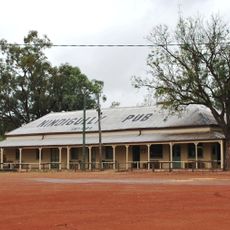
Nindigully Pub
96.6 km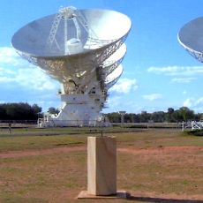
Paul Wild Observatory
174.8 km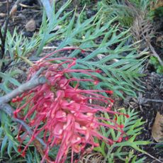
Myall Park Botanic Garden
171.8 km
Wondul Range National Park
150.2 km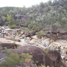
Kwiambal National Park
133.3 km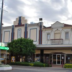
Roxy Theatre and Peters Greek Cafe Complex
150.6 km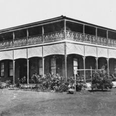
The Anchorage
133.7 km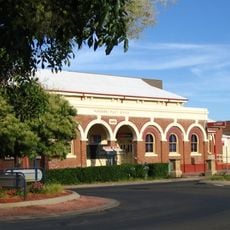
Narrabri Post Office and former Telegraph Office
175.7 km
Mungindi Bridge
74.3 km
Narrabri Gaol and Residence
176 km
Inverell Post Office
178.6 km
Goondiwindi Border Bridge
63.3 km
Customs House Museum
63.2 km
Bullamon Homestead
83.3 km
Cameron's 1 Ton Survey Post
78.4 km
Wyaga Homestead
113 km
Goondiwindi Civic Centre
63.3 km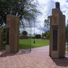
Goondiwindi War Memorial
62.9 km
Alloway (cottage)
80.4 km
National Transport Museum
180.7 km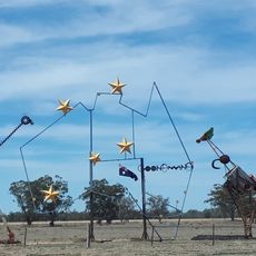
Big Map of Australia
66.2 km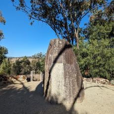
Myall Creek Memorial Site
151.2 km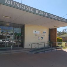
Mungindi Library
73.4 km
Moree Library
80.6 kmReviews
Visited this place? Tap the stars to rate it and share your experience / photos with the community! Try now! You can cancel it anytime.
Discover hidden gems everywhere you go!
From secret cafés to breathtaking viewpoints, skip the crowded tourist spots and find places that match your style. Our app makes it easy with voice search, smart filtering, route optimization, and insider tips from travelers worldwide. Download now for the complete mobile experience.

A unique approach to discovering new places❞
— Le Figaro
All the places worth exploring❞
— France Info
A tailor-made excursion in just a few clicks❞
— 20 Minutes