
Bonshaw Weir
Location: New South Wales
Elevation above the sea: 329 m
GPS coordinates: -28.98167,151.26778
Latest update: April 25, 2025 14:50
Granite Belt
74.3 km
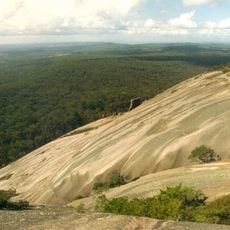
Girraween National Park
67.4 km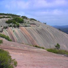
Bald Rock National Park
78.2 km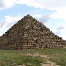
Ballandean Pyramid
59.8 km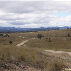
Sundown National Park
46.3 km
Boonoo Boonoo National Park
87.2 km
Braeside Homestead
89.9 km
Kwiambal National Park
29.8 km
Kings Plains National Park
69.3 km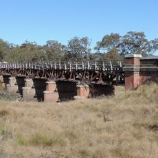
Tenterfield Creek railway bridge, Sunnyside
66.4 km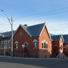
Tenterfield School of Arts
73.6 km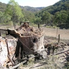
Ottery Mine
61 km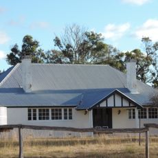
Ballandean Homestead
53.8 km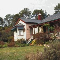
El Arish, Stanthorpe
74.9 km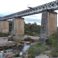
Quart Pot Creek Rail Bridge
74.6 km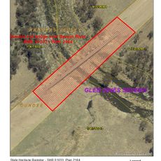
Severn River railway bridge, Dundee
84.6 km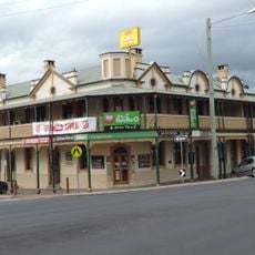
Central Hotel, Stanthorpe
74.5 km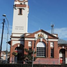
Stanthorpe Post Office
74.4 km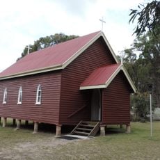
St Denys Anglican Church
68.4 km
Inverell Post Office
89.7 km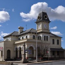
Tenterfield Post Office
73.6 km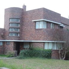
Masel Residence
75 km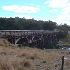
Yarraford Rail Bridge over Beardy River
88.5 km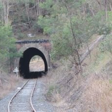
Dalveen Tunnel
88.6 km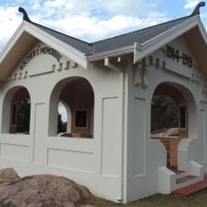
Stanthorpe Soldiers Memorial
75 km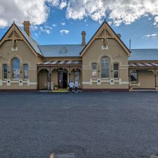
Tenterfield
72.3 km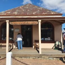
Tenterfield Saddler
73.6 km
Emmaville Mining Museum
60.8 kmReviews
Visited this place? Tap the stars to rate it and share your experience / photos with the community! Try now! You can cancel it anytime.
Discover hidden gems everywhere you go!
From secret cafés to breathtaking viewpoints, skip the crowded tourist spots and find places that match your style. Our app makes it easy with voice search, smart filtering, route optimization, and insider tips from travelers worldwide. Download now for the complete mobile experience.

A unique approach to discovering new places❞
— Le Figaro
All the places worth exploring❞
— France Info
A tailor-made excursion in just a few clicks❞
— 20 Minutes