
Glenarbon Weir
Location: Queensland
Location: New South Wales
Elevation above the sea: 256 m
GPS coordinates: -28.69083,150.89194
Latest update: April 12, 2025 12:27
Granite Belt
101.7 km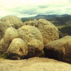
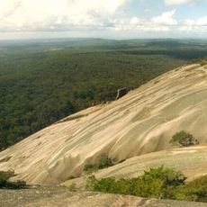
Girraween National Park
102.8 km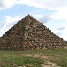
Ballandean Pyramid
94.6 km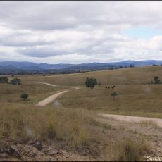
Sundown National Park
82.8 km
Braeside Homestead
104.4 km
Wondul Range National Park
71 km
Kwiambal National Park
48.7 km
Kings Plains National Park
111.1 km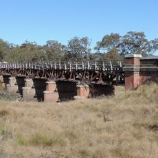
Tenterfield Creek railway bridge, Sunnyside
108.2 km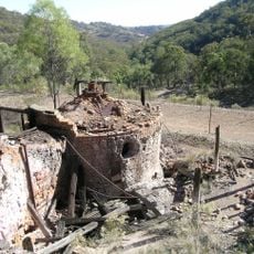
Ottery Mine
109.5 km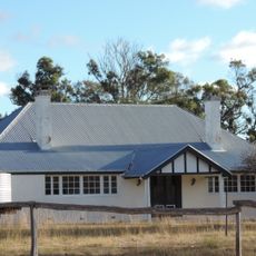
Ballandean Homestead
88.6 km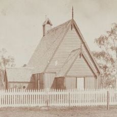
All Saints Anglican Church, Yandilla
106 km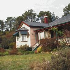
El Arish, Stanthorpe
102.4 km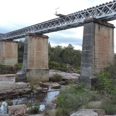
Quart Pot Creek Rail Bridge
102.5 km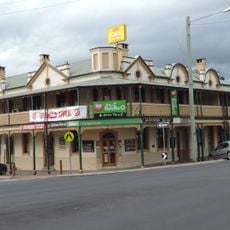
Central Hotel, Stanthorpe
101.9 km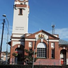
Stanthorpe Post Office
101.8 km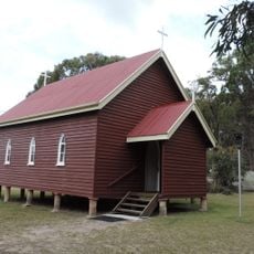
St Denys Anglican Church
90.3 km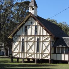
St Augustines Anglican Church, Leyburn
102 km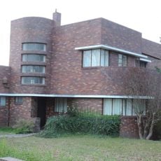
Masel Residence
102.3 km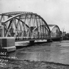
Goondiwindi Border Bridge
59.2 km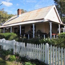
Customs House Museum
59.3 km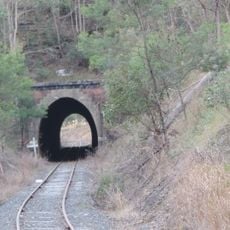
Dalveen Tunnel
108.7 km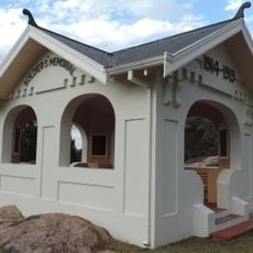
Stanthorpe Soldiers Memorial
102.5 km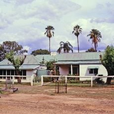
Wyaga Homestead
63.1 km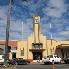
Goondiwindi Civic Centre
59.4 km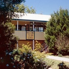
Leyburn State School
101.1 km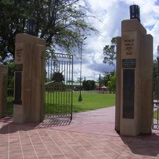
Goondiwindi War Memorial
59.8 km
Emmaville Mining Museum
108.5 kmReviews
Visited this place? Tap the stars to rate it and share your experience / photos with the community! Try now! You can cancel it anytime.
Discover hidden gems everywhere you go!
From secret cafés to breathtaking viewpoints, skip the crowded tourist spots and find places that match your style. Our app makes it easy with voice search, smart filtering, route optimization, and insider tips from travelers worldwide. Download now for the complete mobile experience.

A unique approach to discovering new places❞
— Le Figaro
All the places worth exploring❞
— France Info
A tailor-made excursion in just a few clicks❞
— 20 Minutes