
Inglewood, town in Queensland, Australia
Location: Goondiwindi Regional
GPS coordinates: -28.39268,151.07335
Latest update: March 13, 2025 20:58
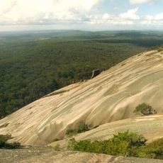
Granite Belt
88.9 km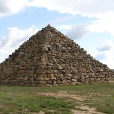
Ballandean Pyramid
89.4 km
Sundown National Park
81.3 km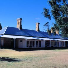
Talgai Homestead
92.6 km
Braeside Homestead
81.6 km
Wondul Range National Park
37 km
Kwiambal National Park
80.9 km
Ballandean Homestead
84.5 km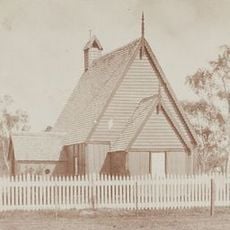
All Saints Anglican Church, Yandilla
68.5 km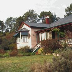
El Arish, Stanthorpe
89.6 km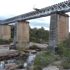
Quart Pot Creek Rail Bridge
90.1 km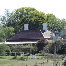
Assmanshausen Winery
88.3 km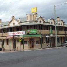
Central Hotel, Stanthorpe
89.1 km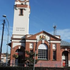
Stanthorpe Post Office
89.1 km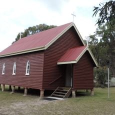
St Denys Anglican Church
75.2 km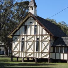
St Augustines Anglican Church, Leyburn
66.1 km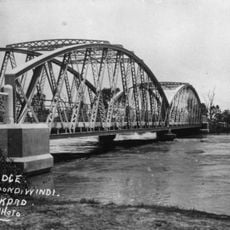
Goondiwindi Border Bridge
76.9 km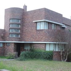
Masel Residence
89.4 km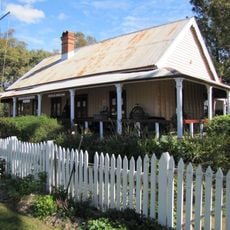
Customs House Museum
77 km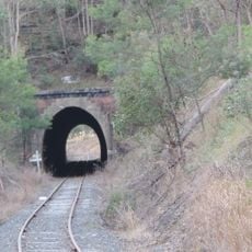
Dalveen Tunnel
89.4 km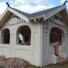
Stanthorpe Soldiers Memorial
89.7 km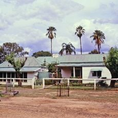
Wyaga Homestead
48.7 km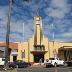
Goondiwindi Civic Centre
77 km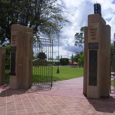
Goondiwindi War Memorial
77.3 km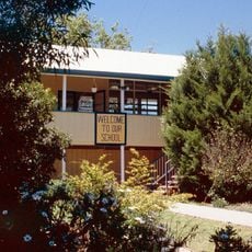
Leyburn State School
65.1 km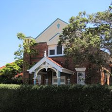
Pittsworth Shire Council Chambers and Shire Hall
93.2 km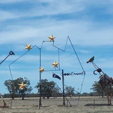
Big Map of Australia
74.4 km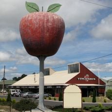
Big Apple
87.7 kmReviews
Visited this place? Tap the stars to rate it and share your experience / photos with the community! Try now! You can cancel it anytime.
Discover hidden gems everywhere you go!
From secret cafés to breathtaking viewpoints, skip the crowded tourist spots and find places that match your style. Our app makes it easy with voice search, smart filtering, route optimization, and insider tips from travelers worldwide. Download now for the complete mobile experience.

A unique approach to discovering new places❞
— Le Figaro
All the places worth exploring❞
— France Info
A tailor-made excursion in just a few clicks❞
— 20 Minutes