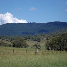
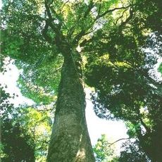
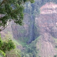
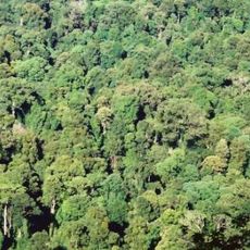
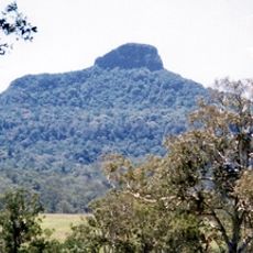
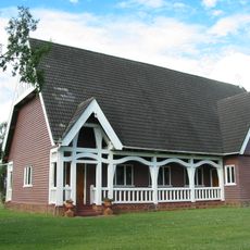
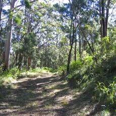
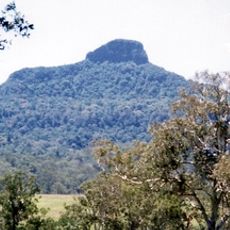
Mount Clunie National Park, Nature reserve in Tenterfield Shire Council, Australia.
Mount Clunie National Park is a 1,426-hectare protected area in the Northern Rivers region of New South Wales, about 631 km north of Sydney and reachable via Kyogle on the Bruxner Highway and Summerland Way. Its north-eastern boundary forms the state border with Queensland, and the terrain averages 634 m above sea level. The park lies within the Focal Peak Group of the Gondwana Rainforests of Australia World Heritage Site.
Mount Clunie National Park lies in the Focal Peak Group of the Gondwana Rainforests of Australia, inscribed as a World Heritage Site in 1986 and added to the Australian National Heritage List in 2007. Its north-eastern boundary forms the state border between New South Wales and Queensland.
The park lies within the Scenic Rim Important Bird Area, identified by BirdLife International for its role in conserving several threatened bird species. Its north-eastern boundary also forms the state border between New South Wales and Queensland, a line visitors can trace on maps of the Focal Peak Group.
Access is via Kyogle on the Bruxner Highway and Summerland Way, about 631 km north of Sydney; the park's north-eastern boundary forms the New South Wales–Queensland border. Terrain averages 634 m above sea level, so carry water and wear sturdy footwear.
The specialized ecosystems here support several native animal species found nowhere else in Australia, making it an important location for conservation programs in New South Wales. These habitats are rarely visited compared to other protected areas in the region.
The community of curious travelers
AroundUs brings together thousands of curated places, local tips, and hidden gems, enriched daily by 94,593 contributors worldwide.