Enoggera, Administrative division in Brisbane City, Australia
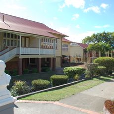
Enoggera is an administrative division northwest of Brisbane's center that includes several residential suburbs such as Gaythorne, Mitchelton, Newmarket, and Wilston. Waterways like Kedron Brook and Enoggera Creek flow through the area, which is marked by hills rising to around 284 meters.
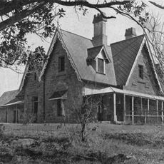
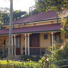
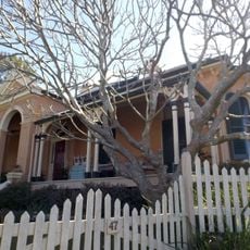
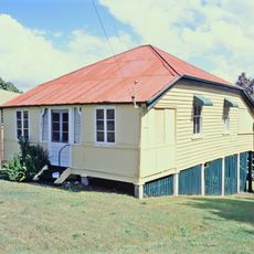
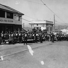
The area developed in the 19th century as an agricultural settlement with orchards and vineyards. The construction of Gallipoli Barracks in 1910 marked a turning point in its transformation into a modern residential region.
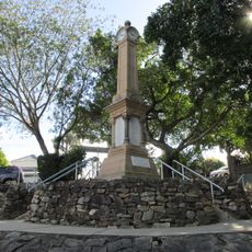
The name comes from the Turrbal language and refers to a ceremonial site where Indigenous people held traditional dances and gatherings. These cultural roots still shape the character of the area today and connect it to the region's original inhabitants.
The Ferny Grove railway line serves Enoggera station in the northeast section, connecting the area to Brisbane's public transportation system. The district office is located on South Pine Road in Alderley for administrative inquiries.
The ward encompasses multiple separate suburbs grouped under one administrative structure despite having distinct characteristics and communities. This composition creates a varied mix of different residential styles and neighborhood identities.
The community of curious travelers
AroundUs brings together thousands of curated places, local tips, and hidden gems, enriched daily by 60,000 contributors worldwide.