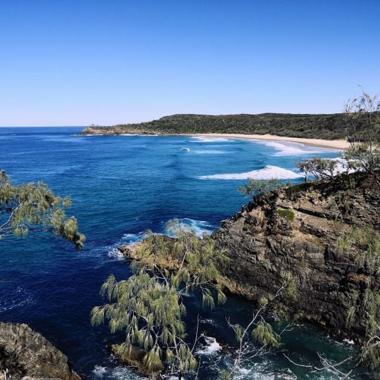
Noosa National Park, Nature reserve in Sunshine Coast, Australia
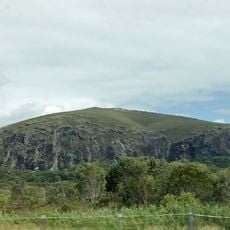
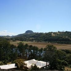
Noosa National Park covers 4,000 hectares in four sections: Headland, Peregian, Emu Mountain and East Weyba. The Headland Section holds rainforest with hoop and kauri pines, open eucalypt forest, wallum heaths, Pandanus palms and grasslands. Its highest point is Noosa Hill at 147 m, reached by a walking track.
Settlers at Noosa Heads set aside a reserve to protect the area in 1879, and it officially became a national park in 1939. In the early 1960s the Noosa Parks Association formed as urban development threatened the wilderness. A management plan was released in October 1999, and 300 hectares at Coolum were added in 2003.
The name Noosa derives from the Gubbi Gubbi word for the area, and the headland has long been a landmark for the Kabi Kabi people. Visitors today follow the same coastal route used for access to fishing spots and lookouts. The Noosa Parks Association, formed in the early 1960s, still organises volunteer bushcare and guided walks in the park.
A 1-km oceanway links Noosa Main Beach to the Headland Section. The park has eight formal walking tracks, the longest 10.8 km; Noosa Hill, at 147 m, is the highest point and reachable by track. Beaches are unpatrolled, and currents at Alexandria Bay are strong; camping is banned.
The Coastal Walk to Hell's Gate and on to Sunshine Beach is the most traversed trail in Queensland. The park holds eight formal walking tracks, the longest 10.8 km, and Noosa Hill at 147 m is its highest point, reached by one of them.
The community of curious travelers
AroundUs brings together thousands of curated places, local tips, and hidden gems, enriched daily by 93,997 contributors worldwide.