
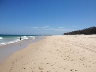
Woorim, suburb of Moreton Bay, Queensland, Australia
Location: City of Moreton Bay
GPS coordinates: -27.06997,153.20334
Latest update: June 6, 2025 07:53
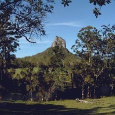
Glass House Mountains National Park
31 km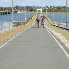
Hornibrook Bridge
26.9 km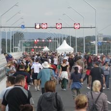
Ted Smout Memorial Bridge
26.8 km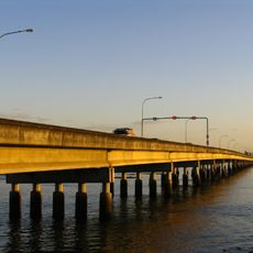
Houghton Highway
26.8 km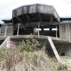
Bribie Island Second World War Fortifications
24.3 km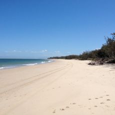
Bribie Island National Park
23.8 km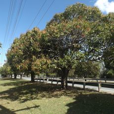
Anzac Avenue
19.9 km
Freshwater National Park
24.1 km
Deception Bay Sea Baths
21.1 km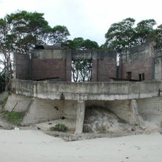
Fort Cowan Cowan
17.2 km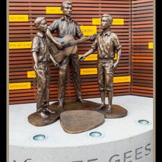
Statue of Bee Gees
19.6 km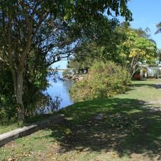
Tripcony Hibiscus Caravan Park
30.5 km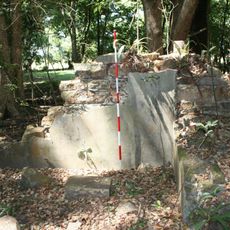
Morayfield Plantation
20.4 km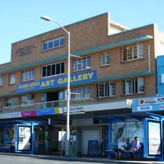
Comino's Arcade
19.6 km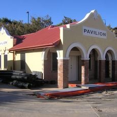
Kings Beach Bathing Pavilion
30.3 km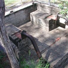
Lagoon Creek Pumping Station
24.7 km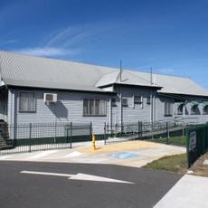
Woody Point Memorial Hall
23.3 km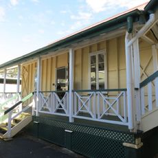
Morayfield State School
25.7 km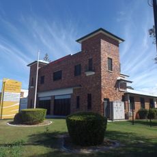
Redcliffe Fire Station
20.7 km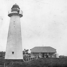
Cowan Cowan Point Light
17.5 km
Anzac Avenue Memorial Trees
27.3 km
Oaklands Sugar Mill
22.9 km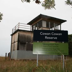
Signal Station
17.2 km
Redcliffe Town Council Chambers
19.4 km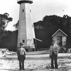
Comboyuro Point Light
15.9 km
Pumicestone National Park
23.1 km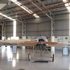
Caboolture Warplane Museum
21.7 km
Scarborough Beach
16.8 kmReviews
Visited this place? Tap the stars to rate it and share your experience / photos with the community! Try now! You can cancel it anytime.
Discover hidden gems everywhere you go!
From secret cafés to breathtaking viewpoints, skip the crowded tourist spots and find places that match your style. Our app makes it easy with voice search, smart filtering, route optimization, and insider tips from travelers worldwide. Download now for the complete mobile experience.

A unique approach to discovering new places❞
— Le Figaro
All the places worth exploring❞
— France Info
A tailor-made excursion in just a few clicks❞
— 20 Minutes