Bribie Island National Park, National park on Bribie Island, Queensland, Australia
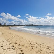
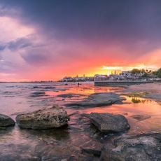
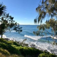
Bribie Island National Park encompasses mangrove forests, wetlands, and sandy beaches that stretch along the Queensland coast. The different habitats support a wide range of native animals, from birds and fish to smaller mammals.
Bribie Island National Park was established in 1994, covering about one third of Bribie Island in what is now the City of Moreton Bay. The park is managed by the Queensland Parks and Wildlife Service, and the tidal wetlands and surrounding waters fall within the Moreton Bay Marine Park.
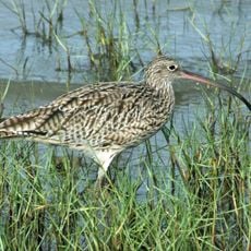
The name Bribie comes from the Kabi word "Bribie", meaning "place of many birds", a reference to the island's birdlife. The park's camping areas carry names such as Poverty Creek, Gallaghers Point, Mission Point, Lime Pocket and Ocean Beach, and Mission Point has toilets, picnic tables and fireplaces.
The park is accessible from mainland Queensland by a bridge and offers walking trails, camping areas, bird watching spots, and fishing opportunities. These activities can be enjoyed throughout the year, though the warmer months tend to be the most popular visiting time.
The inland track runs from White Patch at Banksia Beach to the top of the Ocean Beach camping area, giving walkers a route through the park away from the 4WD beach. Ocean Beach, on the east side, holds 63 campsites, the largest camping area in the park.
The community of curious travelers
AroundUs brings together thousands of curated places, local tips, and hidden gems, enriched daily by 92,789 contributors worldwide.