Mount Archer National Park, Nature reserve in Livingstone Shire, Australia.
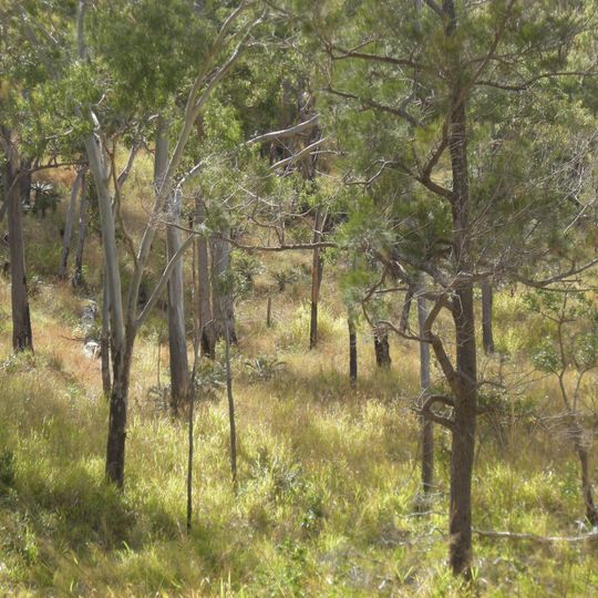
Mount Archer National Park covers 4,250 hectares of open eucalypt woodland with patches of vine scrub, rising to Mount Archer at 604 m in the Berserker Ranges. Moores Creek has cut a deep gorge into the range. The park forms the backdrop to Rockhampton, where tropical Queensland begins.
The Archer brothers explored the area in 1853 and the mountain was later named after them. In 1898 the site was set aside as a water reserve, and in 1940 as a timber reserve. Grazing continued until 1985, when the Queensland Parks and Wildlife Service took over; the area became an environmental park in 1987 and a national park in 1994.
The Darumbal people's Raki-warra clan regards the park as part of its traditional country. The Archer brothers explored the area in 1853, and the mountain was later named after them. Visitors can look for the name on maps and signs, which record this colonial naming.
A road leads to the summit of Mount Archer, where bushwalking and rock climbing are possible. The park has several formed walking tracks and picnic areas, and camping is not permitted. The park is reached directly from Rockhampton via its road network.
Mount Archer is the highest point of the Berserker Ranges at 604 m, and Moores Creek has cut a deep gorge into the range below it. The park lies directly northeast of Rockhampton, where the tropics of Queensland begin. Camping is not permitted anywhere in the park.
The community of curious travelers
AroundUs brings together thousands of curated places, local tips, and hidden gems, enriched daily by 92,851 contributors worldwide.