
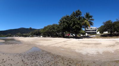
Cannonvale, human settlement in Australia
Location: Queensland
Location: Whitsunday Region
Location: Shire of Whitsunday
GPS coordinates: -20.27870,148.69944
Latest update: May 1, 2025 05:27
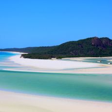
Whitehaven Beach
35 km
Eungella National Park
81.6 km
Cape Hillsborough National Park
78.5 km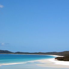
Whitsunday Islands National Park
28.6 km
Gloucester Island National Park
38.8 km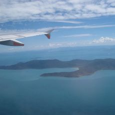
Conway National Park
16.8 km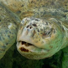
South Cumberland Islands National Park
95.7 km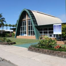
St Paul's Anglican Church, Proserpine
18.5 km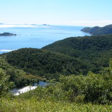
Molle Islands National Park
19.5 km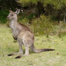
Mount Aberdeen National Park
81.6 km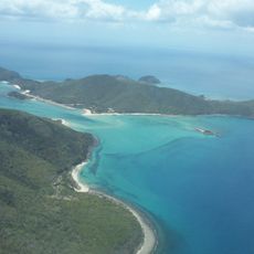
Brampton Islands National Park
83.6 km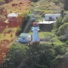
Dent Island Light
26 km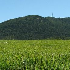
Pioneer Peaks National Park
87 km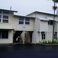
Bowen State School
56.3 km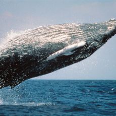
Smith Islands National Park
70 km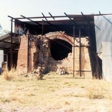
Pindi Pindi Brickworks
66 km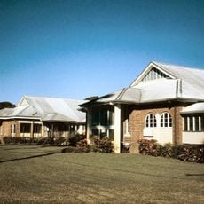
Proserpine Hospital
18.1 km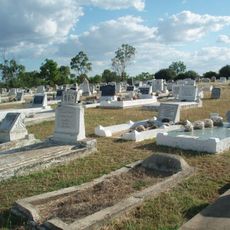
Collinsville Cemetery, Queensland
95.6 km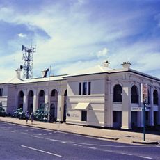
Bowen Courthouse
55.7 km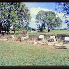
Flemington Road Cemetery
59.3 km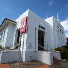
Bowen Post Office
55.8 km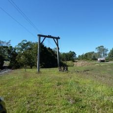
The Leap Cane Lift
96.3 km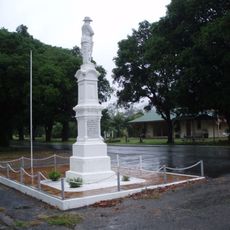
Finch Hatton War Memorial
96 km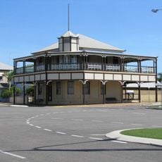
Bowen Harbour Board Building
55.5 km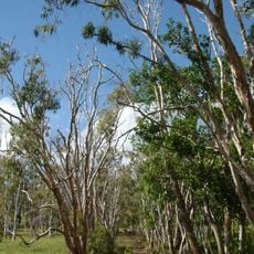
Habana Tramline Causeway and Wharf Site
87 km
Hamilton Island Wildlife Park
27.6 km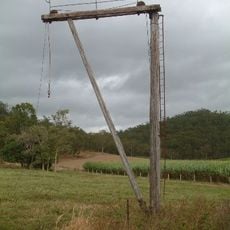
Mount Martin Cane Lift
93.7 km
Halliday Bay Resort
75 kmReviews
Visited this place? Tap the stars to rate it and share your experience / photos with the community! Try now! You can cancel it anytime.
Discover hidden gems everywhere you go!
From secret cafés to breathtaking viewpoints, skip the crowded tourist spots and find places that match your style. Our app makes it easy with voice search, smart filtering, route optimization, and insider tips from travelers worldwide. Download now for the complete mobile experience.

A unique approach to discovering new places❞
— Le Figaro
All the places worth exploring❞
— France Info
A tailor-made excursion in just a few clicks❞
— 20 Minutes