Kuranda, Administrative division in Mareeba Shire, Australia
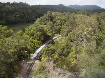
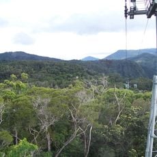
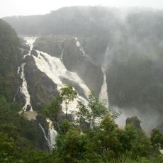
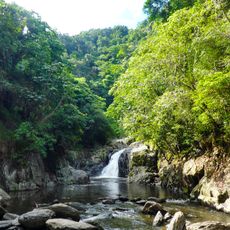
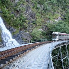
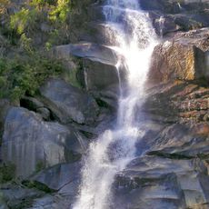
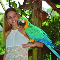
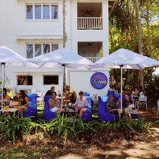
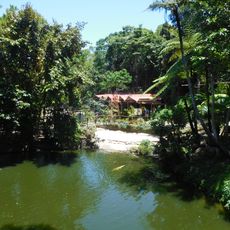
Kuranda is an administrative division in Mareeba Shire in Far North Queensland with tropical landscape situated at approximately 330 meters elevation. The region spans 110.9 square kilometers and is located roughly 25 kilometers west of Cairns.
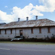
The settlement was established in 1885 and surveyed in 1888, while the Djabugay people had inhabited the area for over 10,000 years before European arrival. Early settlers moved into a landscape with deep roots in the history of the first peoples.
The name comes from the Yidiny word 'kuran', referring to a plant with oak-like leaves, while Myola means the main camp or elders' camp in Aboriginal language. The local names reflect the long presence of the first inhabitants in this region.
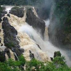
The best time to explore is during the dry season when the tropical climate is less humid. Visitors should prepare for wet conditions and occasional rainfall, bringing appropriate footwear for muddy or slippery terrain.
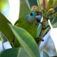
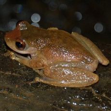
The area contains specific habitats for the nocturnal frog species Litoria myola, found nowhere else in the Atherton Tableland region. These elusive frogs are rarely spotted but contribute to the unique biodiversity of the place.
The community of curious travelers
AroundUs brings together thousands of curated places, local tips, and hidden gems, enriched daily by 60,000 contributors worldwide.