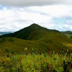
Pic Karikaté, Summit in New Caledonia, France.
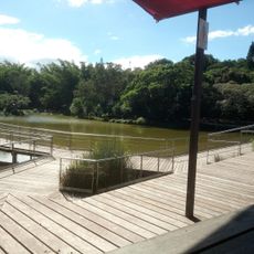
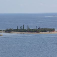
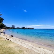
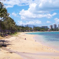
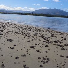
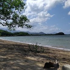
Pic Karikaté is a summit in New Caledonia rising about 66 meters above sea level with views across the coastal landscape. The peak lies near Les Hauts de Karikaté, and the Baie de Uitoé becomes visible as you climb toward the top.
The peak is a geographical feature in New Caledonia, which received its name in 1774 when James Cook explored the island group. This occurred during an era when European navigators were mapping the Pacific islands.
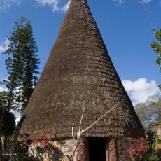
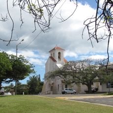
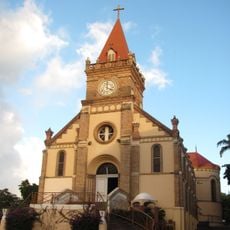
The mountain holds meaning for Kanak communities who maintain deep ties to these lands and their traditions. Walking through the area reveals how local names and features connect to the identity of the people who live here.
The summit is accessible via established trails near Les Hauts de Karikaté and the climb is manageable for visitors with basic fitness. The best time to explore is during drier months when conditions are safest and most comfortable.
The peak serves as a natural reference point among several other geographical features like Île Moro and the nearby Récif Ti reef. These landmarks together form a navigation system that locals use and offer visitors multiple points to explore.
The community of curious travelers
AroundUs brings together thousands of curated places, local tips, and hidden gems, enriched daily by 60,000 contributors worldwide.