Laura to Maytown Coach Road, Heritage-listed road track in Queensland, Australia
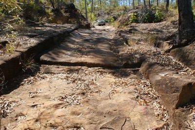
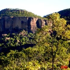
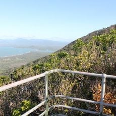
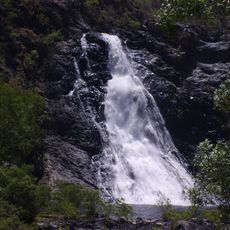
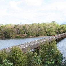
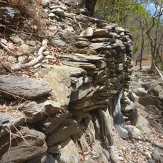
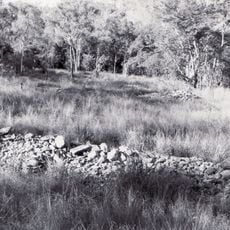
The Laura to Maytown Coach Road is a historic transport route in northern Queensland connecting two towns through mountainous terrain marked by sandstone outcrops and numerous creek crossings. The road features partially preserved original sections and stone construction elements from when it was built.
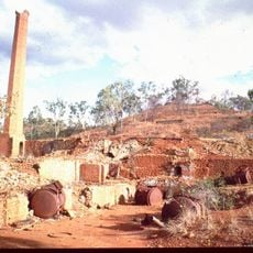
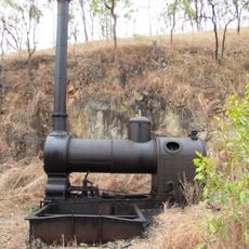
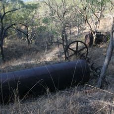
The road was built in 1877 to carry miners and supplies to the Palmer River goldfield during Queensland's largest gold rush. This route proved essential for the rapid development of mining operations across the region.
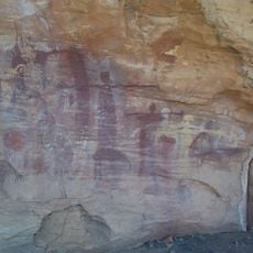
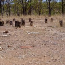
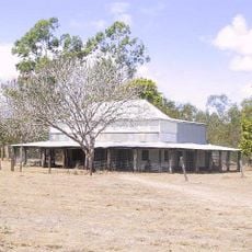
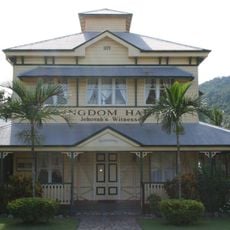
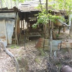
Multiple staging posts and hotel sites dot the route, along with remains of Chinese market gardens that supplied travelers passing through. These stops reveal how diverse communities sustained each other along this working passage.
Visiting requires four-wheel drive vehicles due to steep grades and narrow passages along the partially preserved track. Travelers should come well-prepared and seek local advice about conditions before attempting to navigate the route.
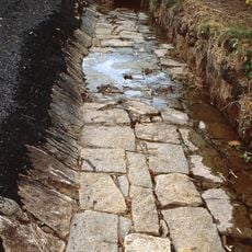
Sections of the road retain visible hand-cut features such as original stone drains and steep pinches between Cradle Creek and North Palmer River. These handmade details reveal the labor-intensive methods early builders used to carve a passage through the landscape.
The community of curious travelers
AroundUs brings together thousands of curated places, local tips, and hidden gems, enriched daily by 60,000 contributors worldwide.