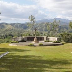
Mouébo, Summit in New Caledonia, France.
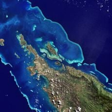
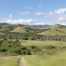
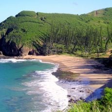
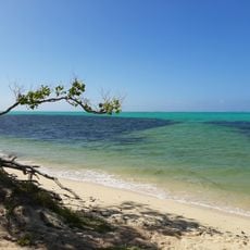
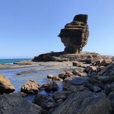
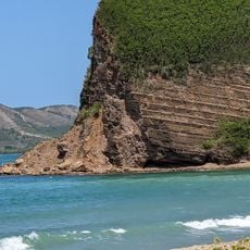
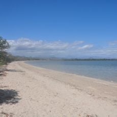
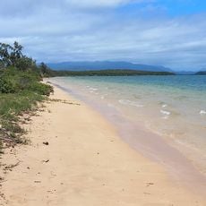
Mouébo is a summit in New Caledonia rising 32 meters above sea level, positioned at coordinates -21.15 latitude and 165.466667 longitude in this Pacific territory. The surrounding area displays tropical vegetation and geological formations typical of this island region.
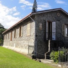
This summit has served as a geographical reference point since French colonization began in 1853. The French presence shaped how the island's geography was mapped and documented.
The Kanak communities see this summit as part of their connection to ancestral lands and their understanding of the natural world. It holds meaning in how local people relate to the landscape around them.
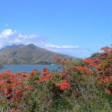
Multiple trails lead to the summit and are most accessible during the dry season from September through December. The wet season can make routes more challenging, so sturdy footwear is recommended.
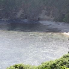
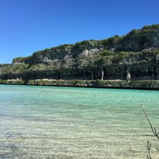
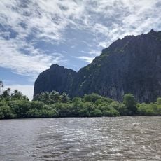
From this vantage point, the layered tropical vegetation and coastal geological structures become distinctly visible in ways visitors often miss. The view offers a clearer understanding of how the natural features blend together on this Pacific island.
The community of curious travelers
AroundUs brings together thousands of curated places, local tips, and hidden gems, enriched daily by 60,000 contributors worldwide.