Ford Island, Historic island in Pearl Harbor, United States.
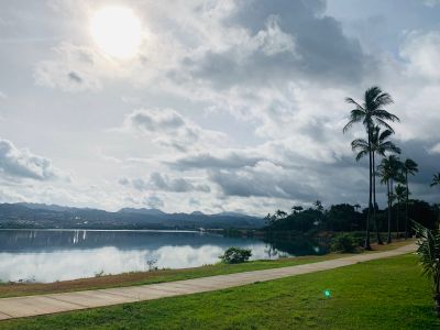
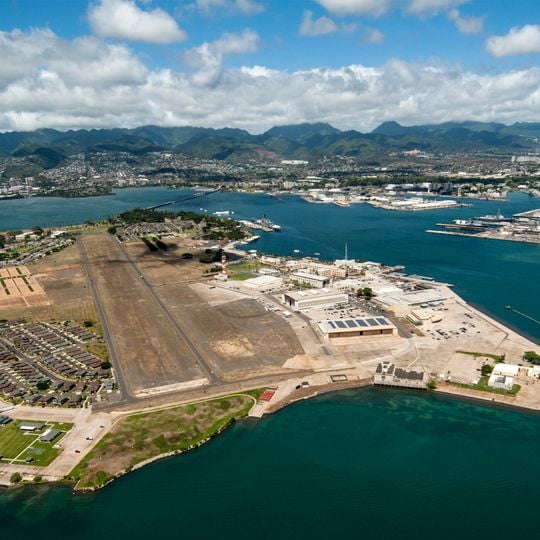
Ford Island lies in the East Loch of Pearl Harbor, a flat coral outcrop 1.5 miles (2.4 km) long and 0.75 miles (1.21 km) wide, enlarged from 334 to 441 acres (135 to 178 ha) with dredged fill between 1930 and 1940. A 4,672 ft (1,424 m) bridge at its northern tip links it east to Halawa Landing. The island holds an airfield, military buildings and the Pacific Warfighting Center.
The Navy built aviation facilities here in the early 20th century. The attack on December 7, 1941, sank several warships including USS Arizona and turned the site into a battlefield.
The Hawaiian name Mokuʻumeʻume comes from the ʻume ceremony held during the Makahiki festival for married couples struggling to conceive; participants sang around a bonfire while a leader touched them with a maile wand. Christian missionaries banned the practice by 1830. The island was renamed for Dr. Seth Porter Ford, who married Caroline Jackson in 1866 and took over the island, changing its name from Marín's Island.
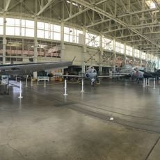
Access is through Admiral Clarey Bridge with shuttle service to memorials and museums. A valid ID is required for all visitors, since the grounds remain an active military base.
Some buildings still show bullet holes and damage from the 1941 attack. The flight path of Japanese aircraft passed directly over the officers' quarters, which remain partly preserved.
The community of curious travelers
AroundUs brings together thousands of curated places, local tips, and hidden gems, enriched daily by 93,025 contributors worldwide.