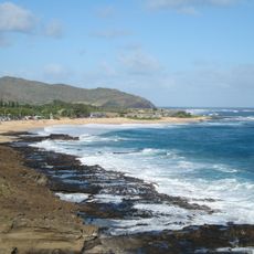
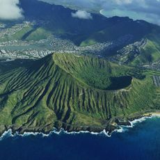
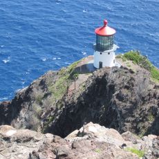
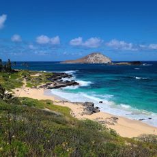
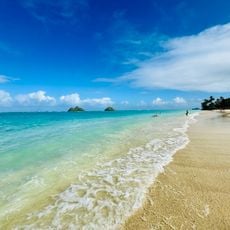
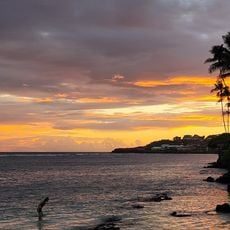
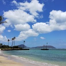
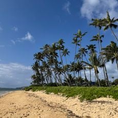
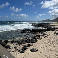
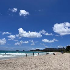
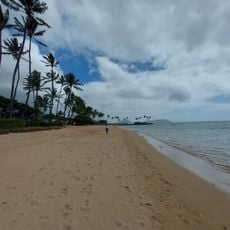
Makapuʻu, Coastal cape in southeastern Oahu, United States.
Makapuʻu is a cape at the southeastern tip of Oahu that rises approximately 647 feet (197 meters) above sea level. From here, you can see across the water toward the islands of Molokai and Lanai.
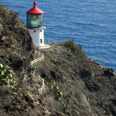
A lighthouse was built here in 1909 after the steamer Manchuria ran aground nearby, creating a need to warn ships of the danger. The installation has remained an important navigation point on Hawaii's coast ever since.
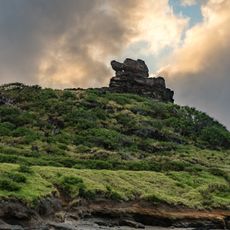
The name Makapuʻu comes from Hawaiian words meaning 'bulging eye', referencing an ancient image that once resided in a local cave called Keanaokeakuapōloli. This name connects the place to the origins and stories of Hawaiian culture.
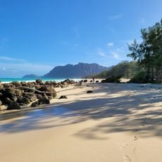
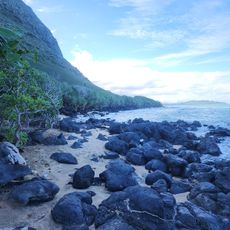
A paved path runs about 1.75 miles (2.8 kilometers) south along the ridge to the lighthouse, offering a moderate hike suitable for people of varying fitness levels. The way is well-marked and passes through open terrain with little shade.
The lighthouse houses a French Fresnel lens measuring about 12 feet (3.6 meters) tall, one of the largest operating navigation lenses in the United States. This enormous lens was engineered to project light powerfully across the ocean from this exposed location.
The community of curious travelers
AroundUs brings together thousands of curated places, local tips, and hidden gems, enriched daily by 60,000 contributors worldwide.