Kīlauea, Active shield volcano in Hawaii County, United States
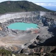
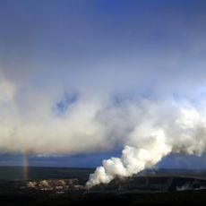
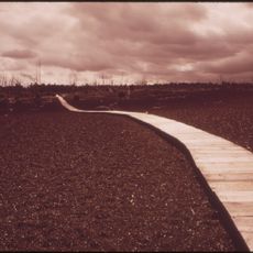
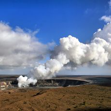
Kīlauea is an active shield volcano on the southeastern shore of Hawaii Island, with a summit caldera holding the Halemaʻumaʻu pit crater. Its two rift zones run 125 km east and 35 km west. In the crater, lava fountains throw molten rock upward and thin lava streams branch across the dark, hardened floor.
Kīlauea's first documented eruption came in 1823, the year missionary William Ellis spent two weeks exploring the summit and gave the first modern account. Oral history records the ʻAilāʻau eruption around 1410, which lasted some 60 years; a 1790 explosive eruption killed more than 400 people. The 1983–2018 Puʻu ʻŌʻō eruption was its longest in modern times.
The name Kīlauea means "spewing" or "much spreading" in Hawaiian, referring to its frequent lava outpourings. In Hawaiian mythology, the pit crater Halemaʻumaʻu served as the body and home of Pele, goddess of fire, lightning, wind and volcanoes. The volcano's 1410 ʻAilāʻau eruption is the first mentioned in Native Hawaiians' oral history.
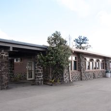
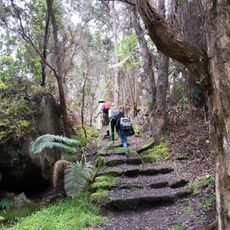
The Hawaiian Volcano Observatory, founded in 1912 by Thomas Jaggar, has long monitored Kīlauea from the rim of its summit caldera, Kaluapele. Trails and crater overlooks in the national park can close during eruptions or when sulfur dioxide levels rise, so check conditions before setting out.
The 2018 lower Puna eruption added nearly a mile of new land to the coast and filled Kapoho Bay with lava. It also boiled away Hawaii's largest natural freshwater lake, Green Lake, and destroyed 716 dwellings in Leilani Estates, Lanipuna Gardens and Kapoho.
The community of curious travelers
AroundUs brings together thousands of curated places, local tips, and hidden gems, enriched daily by 92,155 contributors worldwide.