Devastation Trail, Paved trail in Hawaii Volcanoes National Park, US
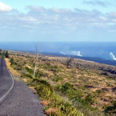
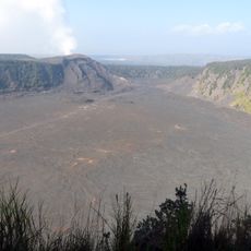
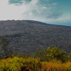
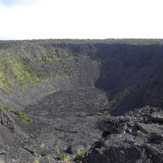
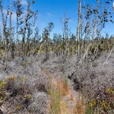
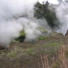
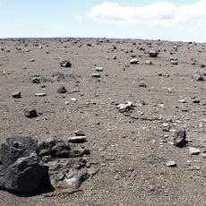
The Devastation Trail is a paved route about 1 mile (1.6 km) long in Hawaii Volcanoes National Park that winds through an area recovering from volcanic burial. The path crosses volcanic cinder and ash deposits where vegetation gradually reestablishes itself after being buried by past eruptions.
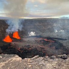
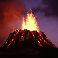
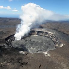
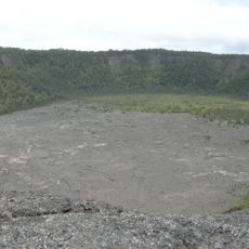
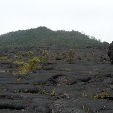
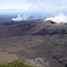
The trail takes its form from the 1959 Kilauea Iki eruption, which buried large sections of forest and landscape under thick volcanic deposits. The path was later developed as a way to walk through this transformed terrain and witness how the land naturally heals itself.
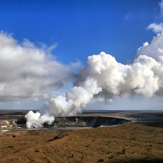
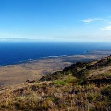
The trail reflects how Hawaiian volcanic landscapes shaped the region's natural identity and ecological systems. Walking here reveals how local ecosystems adapted to survive in harsh volcanic terrain.
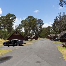
The route is completely flat and paved, making it accessible for wheelchair users and manageable for most fitness levels without difficulty. Plan for about an hour to walk the full route and bring water, as shade is minimal along the path through open volcanic terrain.
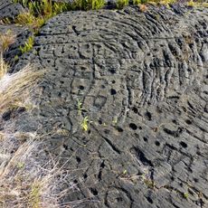
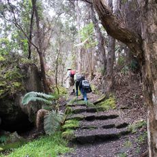
The trail shows how forests from before 1959 stand buried just below the surface, with original tree stumps still visible poking through the volcanic ash in some spots. This creates an unusual walking experience where you stand above an entire lost landscape that existed moments before in geological time.
The community of curious travelers
AroundUs brings together thousands of curated places, local tips, and hidden gems, enriched daily by 60,000 contributors worldwide.