Muldrow Glacier, Valley glacier in Denali National Park, Alaska
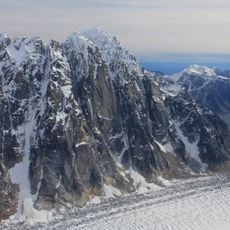
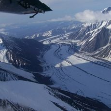
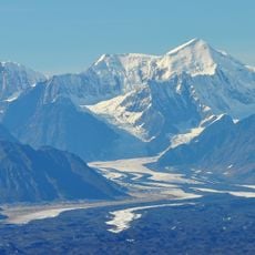
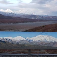
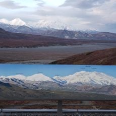
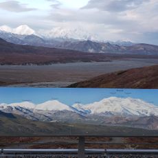
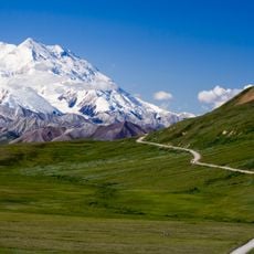
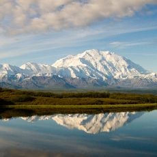
Muldrow Glacier is a valley glacier on the north slope of the Alaska Range in Denali National Park and Preserve. It begins at the Great Icefall of Harper Glacier on the eastern side of Denali at about 6,100 m and drops to 800 m, running 61 to 63 km and covering 516 km² by one measure. It takes in Traleika and Brooks glaciers, then turns north as the source of the McKinley River. Its broad surface shows parallel bands of light gravel and dark debris.
The glacier was named in 1902 by Alfred Hulse Brooks after Robert Muldrow, a surveyor from the United States Geological Survey who mapped the region. The naming honored early surveying work that fundamentally shaped our understanding of the Denali area.
The glacier carries two Native names, Henteel No' Loo' and Henteel No' Loot, recorded alongside the English one. Its alternate English name, McKinley Glacier, comes from the mountain and river of the same name. The name Muldrow replaced earlier designations in 1902, when Alfred Hulse Brooks honoured the USGS topographer Robert Muldrow.
Muldrow Glacier descends from Denali's eastern side, dropping from about 6,100 m to 800 m; its largest tributary, Traleika Glacier, joins at 1,700 m and Brooks Glacier at 1,600 m. Below these junctions the ice is uniform and roughly 2.5 km wide. The upper 42 km flow northeast before the glacier turns northwest.
Muldrow is a pulsing glacier: surges are poorly documented, with known advances around 1906–1912 and 1956–1957, and probably at least two more in the past 200 years. After its speed began rising in 2017, it was advancing up to ninety feet a day by April 2021, about a hundred times its normal rate.
The community of curious travelers
AroundUs brings together thousands of curated places, local tips, and hidden gems, enriched daily by 92,632 contributors worldwide.