Chest opened
+${chestReward.xp} XP
Explorer
NOUVEAU ×${chestReward.collectible.quantity}
tapez pour fermer

See the monuments around you in AR Open chests in the app

Around Us is built for your phone — point your camera at the streets and discover the monuments and places around you in augmented reality. Around Us is built for your phone — chests unlock when you walk, explore and capture nearby places.

•

Enable Location

We need your location to show you interesting places around you

Discover nearby places

Find interesting locations and hidden gems around you

Precise directions

Get accurate directions and distances to places

Your location is never shared with other users. It's only used when you tap the location button.

Mount Dickey

Log in to your account

Start exploring — it's free

Trusted by 92,633 travelers worldwide

Continue with Google
Continue with Apple
or

We will send you a code to connect

By continuing, you accept our Terms and Conditions and our Privacy Policy

Check your inbox

We've sent a pincode in your inbox. Please enter the code below.

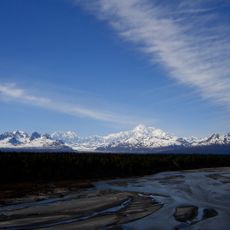
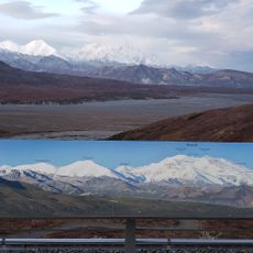
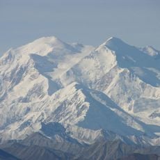
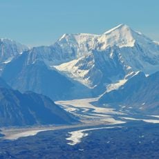
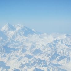
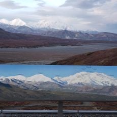
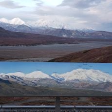
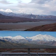
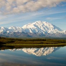
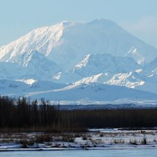
Mount Dickey, Mountain summit in Ruth Gorge, Alaska, USA.

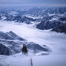
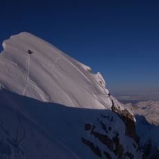
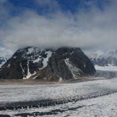
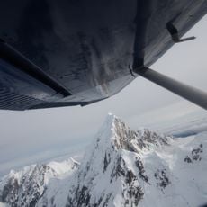
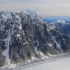
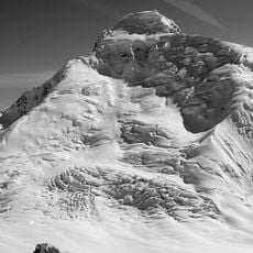
Mount Dickey is a peak on the west side of the Ruth Gorge in the Central Alaska Range, 12 miles southeast of Denali and 4 miles southwest of The Moose's Tooth. Its east face drops about a vertical mile (1,600 m) of sheer granite over less than half a mile (800 m) of horizontal distance, one of the tallest rock walls in the world.

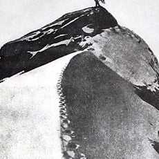
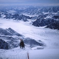
The mountain was first climbed in 1955 by David Fisher and Bradford Washburn via a west-facing route that remains in use today. This ascent began the era of technical climbing on its steep granite faces.

The east face's first route was climbed in July 1974 by David Roberts, Galen Rowell and Ed Ward, who spent four days on a 5,100-foot pillar on the southeast face. Thomas Bonapace and Andreas Orgler added the "Wine Bottle Route" on the right side of the east face in 1988, a 5,250-foot line. Roger Cowles and Brian Okonek made the first winter ascent in February 1979.

This location is best visited during warmer months since winter temperatures drop far below freezing, making expeditions dangerous or impossible. Plan any climbing trips for late spring or early summer when conditions are most favorable for technical routes.

The east face gains about 1,600 m of vertical granite over less than 800 m of horizontal distance, one of the tallest rock walls in the world. The 1988 Wine Bottle Route, climbed by Thomas Bonapace and Andreas Orgler, runs 1,600 m up its right side.

The community of curious travelers

AroundUs brings together thousands of curated places, local tips, and hidden gems, enriched daily by 92,633 contributors worldwide.

Start exploring
Location
GPS coordinates
62.94667,-150.72367
Latest update
October 24, 2026 20:32
Reviews
Share your experience

No review yet

Discussions
Start a discussion...

No discussion yet

« Mount Dickey - Mountain summit in Ruth Gorge, Alaska, USA » is provided by Around Us (aroundus.com). Images and texts are derived from Wikimedia project under a Creative Commons license. You are allowed to copy, distribute, and modify copies of this page, under the conditions set by the license, as long as this note is clearly visible.

Discover hidden gems everywhere you go!

From secret cafés to breathtaking viewpoints, skip the crowded tourist spots and find places that match your style. Our app makes it easy with voice search, smart filtering, route optimization, and insider tips from travelers worldwide. Download now for the complete mobile experience.

Around Us App Screenshot
❝

A unique approach to discovering new places❞

— Le Figaro

❝

All the places worth exploring❞

— France Info

❝

A tailor-made excursion in just a few clicks❞

— 20 Minutes

Around Us
Travel Guide & Maps
Download

Send to your phone

QR Code
1

Open the camera app on your mobile.

2

Point at the QR code with your camera. A notification will appear.

3

Tap the notification to open the link.