Chest opened
+${chestReward.xp} XP
Explorer
NOUVEAU ×${chestReward.collectible.quantity}
tapez pour fermer
Chest locked

Open chests in the app

Around Us is built for your phone — chests unlock when you walk, explore and capture nearby places.

Enable Location

We need your location to show you interesting places around you

Discover nearby places

Find interesting locations and hidden gems around you

Precise directions

Get accurate directions and distances to places

Your location is never shared with other users. It's only used when you tap the location button.

Log in to your account

Start exploring — it's free

Trusted by 72,887 travelers worldwide

Continue with Google
Continue with Apple
or

We will send you a code to connect

By continuing, you accept our Terms and Conditions and our Privacy Policy

Check your inbox

We've sent a pincode in your inbox. Please enter the code below.

Alaska statistical areas
Discussion Reviews Photo
4.7k Popularity

Alaska statistical areas, Statistical reporting zones in Alaska, United States.

Statistical areas in Alaska are geographic zones defined by the US Census Bureau to measure and track population patterns. These regions help organize demographic and economic data across one of the country's most expansive and sparsely populated states.

Alaska received its statistical area designations after statehood in 1959, when the federal government introduced standardized Census zones. The boundaries have been adjusted multiple times to reflect changing population distribution across the vast territory.

These statistical divisions reflect population distribution patterns influenced by Native Alaskan communities, Russian settlements, and subsequent American development.

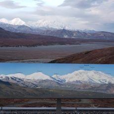
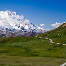
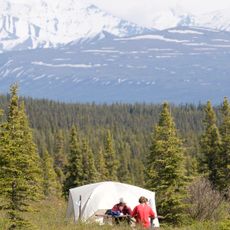
Visitors interested in understanding these zones can focus on the few major population centers, since much of the state remains largely undeveloped and remote. A map of the region helps show how vast the distances are between settlements.

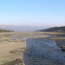
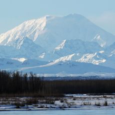
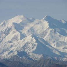
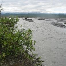
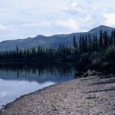
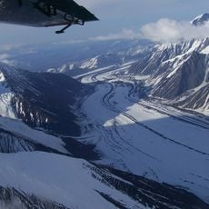
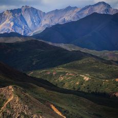
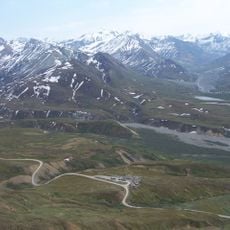
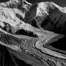
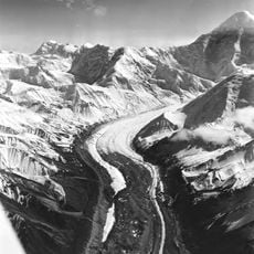
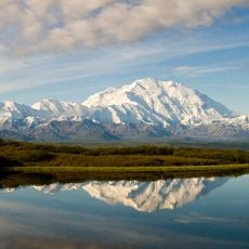
Statistical boundaries in Alaska often follow natural geographic features like fjords and mountain ranges rather than arbitrary lines. This reflects how the landscape itself shapes where people settle and how they move about the region.

The community of curious travelers

AroundUs brings together thousands of curated places, local tips, and hidden gems, enriched daily by 60,000 contributors worldwide.

Start exploring
GPS coordinates
64.06850,-152.27820
Latest update
December 10, 2025 20:05
Around this place
Stampede Trail
United States of America

Stampede Trail

124.6 km
Mount Foraker
United States of America

Mount Foraker

130.8 km
Nowitna River
United States of America

Nowitna River

102.1 km
Muldrow Glacier
United States of America

Muldrow Glacier

127.9 km
McKinley River
United States of America

McKinley River

41 km
Nowitna National Wildlife Refuge
United States of America

Nowitna National Wildlife Refuge

106.4 km
Pearson Cabin
United States of America

Pearson Cabin

125.7 km
Lower East Fork Ranger Cabin No. 9
United States of America

Lower East Fork Ranger Cabin No. 9

116.2 km
Traleika Glacier
United States of America

Traleika Glacier

126.2 km
Mount Brooks
United States of America

Mount Brooks

127 km
Sushana River Ranger Cabin No. 17
United States of America

Sushana River Ranger Cabin No. 17

127.2 km
United States of America

Brooks Glacier

131.2 km
Moose Creek Ranger Cabin No. 19
United States of America

Moose Creek Ranger Cabin No. 19

104.6 km
Mount Sheldon
United States of America

Mount Sheldon

118.6 km
Harper Glacier
United States of America

Harper Glacier

126.6 km
Mount Carpe
United States of America

Mount Carpe

123.8 km
Peters Dome
United States of America

Peters Dome

116.6 km
Sunset Glacier
United States of America

Sunset Glacier

132.1 km
Lower Toklat River Ranger Cabin No. 18
United States of America

Lower Toklat River Ranger Cabin No. 18

103.2 km
Upper Toklat River Cabin No. 24
United States of America

Upper Toklat River Cabin No. 24

125.6 km
Herron Glacier
United States of America

Herron Glacier

117.5 km
Foraker Glacier
United States of America

Foraker Glacier

117 km
Wedge Peak
United States of America

Wedge Peak

130.1 km
Mount McKinley National Park Road Historic District
United States of America

Mount McKinley National Park Road Historic District

126 km
Fannie Quigley House
United States of America

Fannie Quigley House

86.5 km
East Buttress
United States of America

East Buttress

131.8 km
Eielson Visitor Center
United States of America

Eielson Visitor Center

120 km
Wonder Lake Campground
United States of America

Wonder Lake Campground

97.7 km
Show the full map
Reviews
Share your experience

No review yet

Discussions
Start a discussion...

No discussion yet

« Alaska statistical areas - Statistical reporting zones in Alaska, United States » is provided by Around Us (aroundus.com). Images and texts are derived from Wikimedia project under a Creative Commons license. You are allowed to copy, distribute, and modify copies of this page, under the conditions set by the license, as long as this note is clearly visible.

Discover hidden gems everywhere you go!

From secret cafés to breathtaking viewpoints, skip the crowded tourist spots and find places that match your style. Our app makes it easy with voice search, smart filtering, route optimization, and insider tips from travelers worldwide. Download now for the complete mobile experience.

Around Us App Screenshot

A unique approach to discovering new places

Le Figaro

All the places worth exploring

France Info

A tailor-made excursion in just a few clicks

20 Minutes

Around Us
Travel Guide & Maps
Download

Send to your phone

QR Code
1

Open the camera app on your mobile.

2

Point at the QR code with your camera. A notification will appear.

3

Tap the notification to open the link.