Chest opened
+${chestReward.xp} XP
Explorer
NOUVEAU ×${chestReward.collectible.quantity}
tapez pour fermer
Chest locked

Open chests in the app

Around Us is built for your phone — chests unlock when you walk, explore and capture nearby places.

Enable Location

We need your location to show you interesting places around you

Discover nearby places

Find interesting locations and hidden gems around you

Precise directions

Get accurate directions and distances to places

Your location is never shared with other users. It's only used when you tap the location button.

Cantwell

Log in to your account

Start exploring — it's free

Trusted by 72,883 travelers worldwide

Continue with Google
Continue with Apple
or

We will send you a code to connect

By continuing, you accept our Terms and Conditions and our Privacy Policy

Check your inbox

We've sent a pincode in your inbox. Please enter the code below.

Discussion Reviews 1 Photos
10.9k Popularity

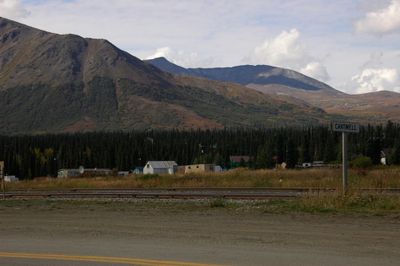
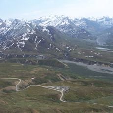
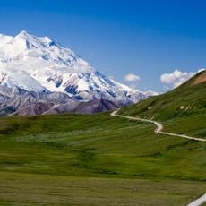
Cantwell, Census-designated place in Denali Borough, United States

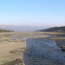
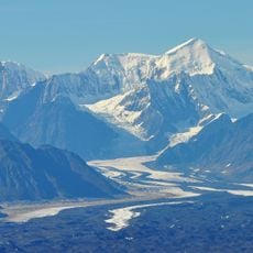
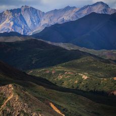
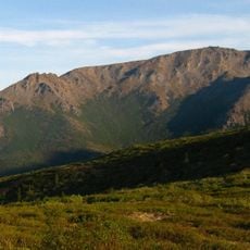
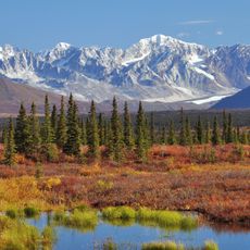
Cantwell sits at the northern end of Broad Pass where creeks and rivers meet. The settlement is a small community in Alaska's interior, serving as a waypoint for travelers heading to Denali.

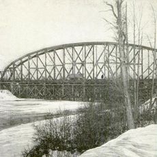
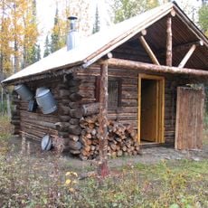
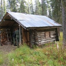
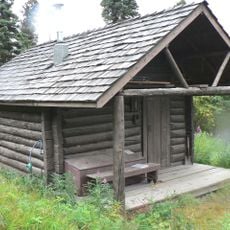
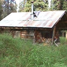
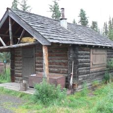
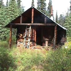
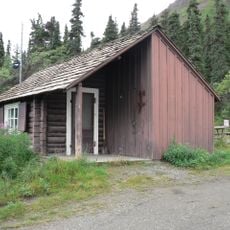
The settlement began in 1930 as a railroad stop to support mining operations in the surrounding region. It gradually developed into a small hub connecting different parts of Alaska's interior.

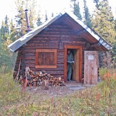
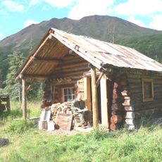
The settlement has roots in Athabascan communities who practiced hunting and fishing in the region. These traditions remain important to how people understand and relate to the land today.

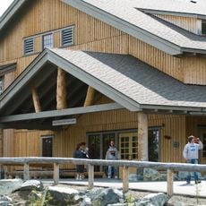
The George Parks Highway connects the settlement to major cities, making it the main access route for visitors. Plan ahead as services and supplies are limited in this remote location.

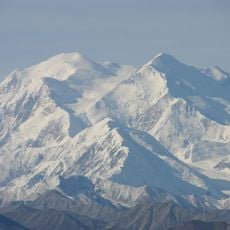
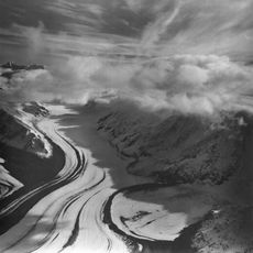
Summer snowfall occurs here due to its inland location and high elevation position. This unusual weather pattern makes it notable for climate enthusiasts and researchers studying Alaska's interior.

The community of curious travelers

AroundUs brings together thousands of curated places, local tips, and hidden gems, enriched daily by 60,000 contributors worldwide.

Start exploring
Location
Inception
1930s
GPS coordinates
63.38800,-148.90020
Latest update
December 8, 2025 13:44
Around this place
Stampede Trail
United States of America

Stampede Trail

68.6 km
Magic Bus
United States of America

Magic Bus

53.3 km
Mount McKinley National Park Headquarters District
United States of America

Mount McKinley National Park Headquarters District

37.3 km
Muldrow Glacier
United States of America

Muldrow Glacier

78.1 km
Pearson Cabin
United States of America

Pearson Cabin

58.9 km
Dry Creek Archeological Site
United States of America

Dry Creek Archeological Site

58.3 km
United States of America

Cantwell Glacier

27.9 km
Susitna River Bridge
United States of America

Susitna River Bridge

79.8 km
Lower East Fork Ranger Cabin No. 9
United States of America

Lower East Fork Ranger Cabin No. 9

70.5 km
Sushana River Ranger Cabin No. 17
United States of America

Sushana River Ranger Cabin No. 17

62.1 km
Eldridge Glacier
United States of America

Eldridge Glacier

73.6 km
Mount Sheldon
United States of America

Mount Sheldon

64.6 km
Igloo Creek Cabin No. 25
United States of America

Igloo Creek Cabin No. 25

41.9 km
Riley Creek Ranger Cabin No. 20
United States of America

Riley Creek Ranger Cabin No. 20

21.9 km
Mount Margaret
United States of America

Mount Margaret

46.6 km
Sanctuary River Cabin No. 31
United States of America

Sanctuary River Cabin No. 31

46.9 km
Sunset Glacier
United States of America

Sunset Glacier

64.5 km
Ewe Creek Ranger Cabin No. 8
United States of America

Ewe Creek Ranger Cabin No. 8

50.9 km
Upper Windy Creek Ranger Cabin No. 7
United States of America

Upper Windy Creek Ranger Cabin No. 7

8.3 km
Upper East Fork Cabin No. 29
United States of America

Upper East Fork Cabin No. 29

47.7 km
Lower Windy Creek Ranger Cabin No. 15
United States of America

Lower Windy Creek Ranger Cabin No. 15

9.3 km
Upper Toklat River Cabin No. 24
United States of America

Upper Toklat River Cabin No. 24

58.8 km
Nenana Glacier
United States of America

Nenana Glacier

65.4 km
Yanert Glacier
United States of America

Yanert Glacier

63.6 km
Mount McKinley National Park Road Historic District
United States of America

Mount McKinley National Park Road Historic District

58.9 km
Denali Visitor Center
United States of America

Denali Visitor Center

38.2 km
Eielson Visitor Center
United States of America

Eielson Visitor Center

70.5 km
Riley Creek Campground
United States of America

Riley Creek Campground

38.2 km
Show the full map
Reviews
Share your experience

No review yet

Discussions
Start a discussion...

No discussion yet

« Cantwell - Census-designated place in Denali Borough, United States » is provided by Around Us (aroundus.com). Images and texts are derived from Wikimedia project under a Creative Commons license. You are allowed to copy, distribute, and modify copies of this page, under the conditions set by the license, as long as this note is clearly visible.

Discover hidden gems everywhere you go!

From secret cafés to breathtaking viewpoints, skip the crowded tourist spots and find places that match your style. Our app makes it easy with voice search, smart filtering, route optimization, and insider tips from travelers worldwide. Download now for the complete mobile experience.

Around Us App Screenshot

A unique approach to discovering new places

Le Figaro

All the places worth exploring

France Info

A tailor-made excursion in just a few clicks

20 Minutes

Around Us
Travel Guide & Maps
Download

Send to your phone

QR Code
1

Open the camera app on your mobile.

2

Point at the QR code with your camera. A notification will appear.

3

Tap the notification to open the link.