Chest opened
+${chestReward.xp} XP
Explorer
NOUVEAU ×${chestReward.collectible.quantity}
tapez pour fermer

See the monuments around you in AR Open chests in the app

Around Us is built for your phone — point your camera at the streets and discover the monuments and places around you in augmented reality. Around Us is built for your phone — chests unlock when you walk, explore and capture nearby places.

•

Enable Location

We need your location to show you interesting places around you

Discover nearby places

Find interesting locations and hidden gems around you

Precise directions

Get accurate directions and distances to places

Your location is never shared with other users. It's only used when you tap the location button.

Glenn Highway

Log in to your account

Start exploring — it's free

Trusted by 89,018 travelers worldwide

Continue with Google
Continue with Apple
or

We will send you a code to connect

By continuing, you accept our Terms and Conditions and our Privacy Policy

Check your inbox

We've sent a pincode in your inbox. Please enter the code below.

Glenn Highway
Discussion Reviews 1 Photos
9.5k Popularity

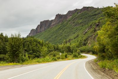
Glenn Highway, National Scenic Byway in Alaska, United States

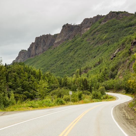
The Glenn Highway is a 189-mile road stretching from Anchorage to Glennallen across south-central Alaska. It follows the Matanuska River as it passes through mountains and valleys, connecting communities along the way and offering access to Matanuska Glacier.

The highway was built in 1945 to create the first road link between Anchorage and the Richardson Highway. This connection played a key role in Alaska's post-war development by improving transportation between distant communities.

The route crosses lands of the Ahtna and Dena'ina peoples, who have lived here for generations and continue to maintain their connection to the area. Information centers along the way share how these communities have used and understood this landscape for centuries.

The highway is passable for most of the year and links several communities along its route. Conditions vary with the seasons, so travelers should check weather updates and road status before setting out, especially during winter months.

Near mile marker 102, travelers can reach Matanuska Glacier directly and walk on the ice formations year-round. This access point makes it unusually easy to experience ancient ice without special equipment or climbing skills.

The community of curious travelers

AroundUs brings together thousands of curated places, local tips, and hidden gems, enriched daily by 60,000 contributors worldwide.

Start exploring
Location
Part of
Alaska Route 1
GPS coordinates
61.30553,-149.58229
Latest update
September 17, 2026 04:05
Around this place
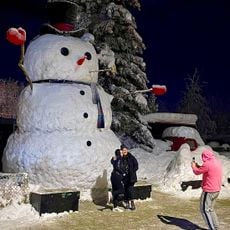
Snowzilla
United States of America

Snowzilla

10.4 mi
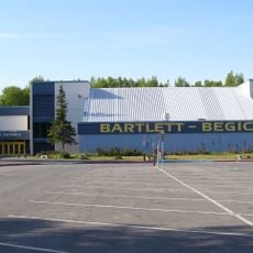
Bartlett High School
United States of America

Bartlett High School

7.1 mi
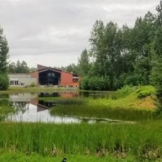
Alaska Native Heritage Center
United States of America

Alaska Native Heritage Center

6.7 mi
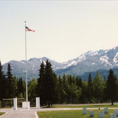
Fort Richardson National Cemetery
United States of America

Fort Richardson National Cemetery

3.4 mi
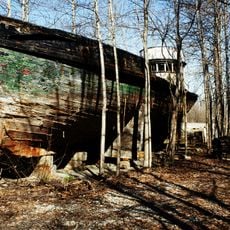
Chacon
United States of America

Chacon

5.5 mi
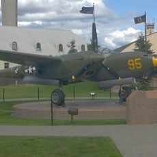
Temnac P-38G Lightning
United States of America

Temnac P-38G Lightning

8.3 mi
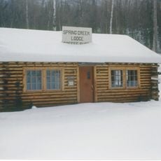
Spring Creek Lodge
United States of America

Spring Creek Lodge

7 mi
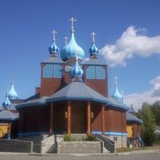
St. Innocent Russian Orthodox Cathedral
United States of America

St. Innocent Russian Orthodox Cathedral

8.3 mi
Eagle River Bowl
United States of America

Eagle River Bowl

1.7 mi
United States of America

Mural

9 mi
United States of America

Tucker Point

5.2 mi
United States of America

Northrop F-89D Scorpion

8.3 mi
United States of America

South Fork Falls Overlook

3.8 mi
United States of America

McDonnell F-4C Phantom II

8.3 mi
United States of America

Lockheed C-130E Hercules

8.4 mi
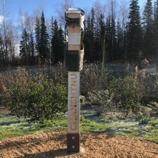
Indigenous Placename Marker, Chanshtnu
United States of America

Indigenous Placename Marker, Chanshtnu

8.3 mi
United States of America

Anchorage Holiday Star

4.2 mi
United States of America

McDonnell Douglas F-15A Eagle

8.3 mi
United States of America

Lockheed T-33A

8.3 mi
United States of America

Convair F-102A Delta Dagger

8.3 mi
United States of America

View of Eagle River

4.3 mi
United States of America

South Fork Falls

3.8 mi
United States of America

Temnac P-38G Lightning

8.3 mi
United States of America

Fairchild C-123B Provider

8.4 mi
United States of America

Lockheed F-80C Shooting Star

8.4 mi
United States of America

North American T-6G Texan

8.4 mi
United States of America

North American F-86A Sabre

8.3 mi
United States of America

Piasecki HH-21B

7.5 mi
Show the full map
Reviews
Share your experience

No review yet

Discussions
Start a discussion...

No discussion yet

« Glenn Highway - National Scenic Byway in Alaska, United States » is provided by Around Us (aroundus.com). Images and texts are derived from Wikimedia project under a Creative Commons license. You are allowed to copy, distribute, and modify copies of this page, under the conditions set by the license, as long as this note is clearly visible.

Discover hidden gems everywhere you go!

From secret cafés to breathtaking viewpoints, skip the crowded tourist spots and find places that match your style. Our app makes it easy with voice search, smart filtering, route optimization, and insider tips from travelers worldwide. Download now for the complete mobile experience.

Around Us App Screenshot
❝

A unique approach to discovering new places❞

— Le Figaro

❝

All the places worth exploring❞

— France Info

❝

A tailor-made excursion in just a few clicks❞

— 20 Minutes

Around Us
Travel Guide & Maps
Download

Send to your phone

QR Code
1

Open the camera app on your mobile.

2

Point at the QR code with your camera. A notification will appear.

3

Tap the notification to open the link.