
Red Bluff, cliff in Yukon–Koyukuk Census Area, United States of America
Location: Yukon-Koyukuk Census Area
GPS coordinates: 66.67944,-143.48528
Latest update: April 5, 2025 08:22
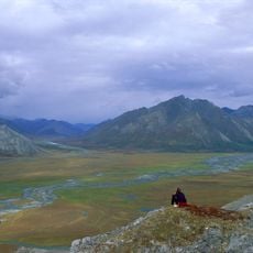
Arctic National Wildlife Refuge
230.5 km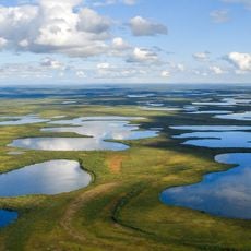
Vuntut National Park
232.9 km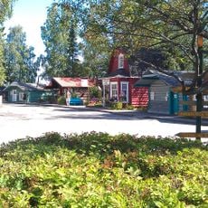
Fairbanks Gold Rush
260.4 km
Mount Isto
281.2 km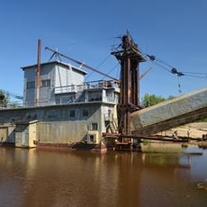
Goldstream Dredge No. 8
271.5 km
Yukon Flats National Wildlife Refuge
118.1 km
White Mountains National Recreation Area
242.1 km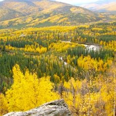
Chena River State Recreation Area
235.3 km
Creamer's Field Migratory Waterfowl Refuge
279.5 km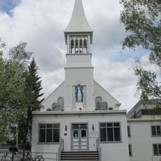
Immaculate Conception Church
281.2 km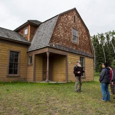
Fort Egbert
234.6 km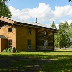
Slaven's Cabin
148.9 km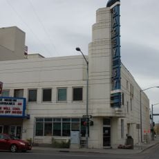
Lacey Street Theatre
281.2 km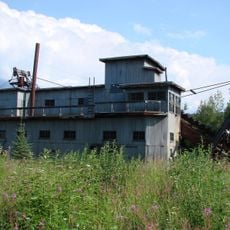
Coal Creek Historic Mining District
153.2 km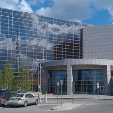
Rabinowitz Courthouse
281.2 km
Biederman's Cabin
151.3 km
Old Federal Building
281.3 km
Discovery Claim on Pedro Creek
260.7 km
Kandik River
151.7 km
George C. Thomas Memorial Library
281.5 km
Fairbanks Exploration Company Housing
280.7 km
Fairbanks Exploration Company Machine Shop
280.7 km
Fairbanks Exploration Company Manager's House
280.3 km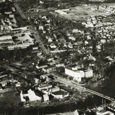
Illinois Street Historic District
280.8 km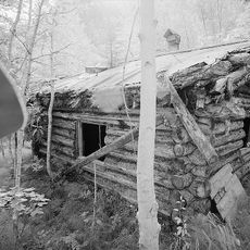
George McGregor Cabin
148.8 km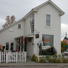
Oddfellows House
281.5 km
Dall River
273.2 km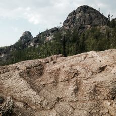
Angel Rocks Trail
223.4 kmReviews
Visited this place? Tap the stars to rate it and share your experience / photos with the community! Try now! You can cancel it anytime.
Discover hidden gems everywhere you go!
From secret cafés to breathtaking viewpoints, skip the crowded tourist spots and find places that match your style. Our app makes it easy with voice search, smart filtering, route optimization, and insider tips from travelers worldwide. Download now for the complete mobile experience.

A unique approach to discovering new places❞
— Le Figaro
All the places worth exploring❞
— France Info
A tailor-made excursion in just a few clicks❞
— 20 Minutes