Durango, Administrative capital in northern Mexico
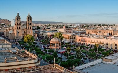
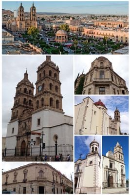
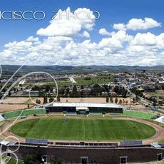
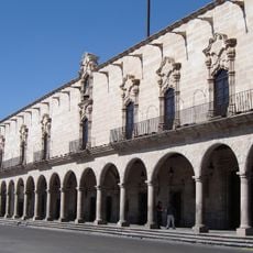
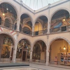
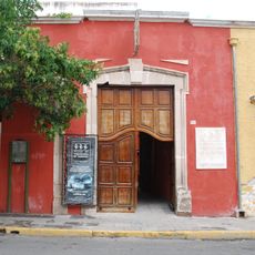
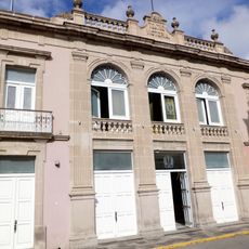
Durango sits in a valley at 1,880 meters elevation, surrounded by the Sierra Madre Occidental mountains. The city spreads across several neighborhoods, from the historic center with its colonial buildings to newer residential and commercial districts on the outskirts.
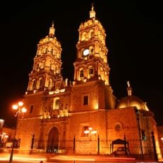
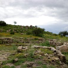
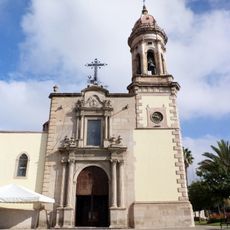
Francisco de Ibarra founded the settlement in 1563 as a base for Spanish colonization and silver mining. Over the following centuries, it grew into a regional administrative and trade center.
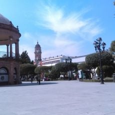
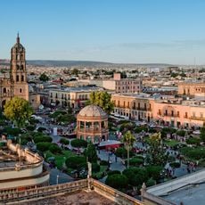
The city's plazas and tree-lined walkways are part of daily routines, where residents gather in the afternoons to meet and stroll. These public spaces carry names that honor figures from the region's past and shape the social fabric of the community.
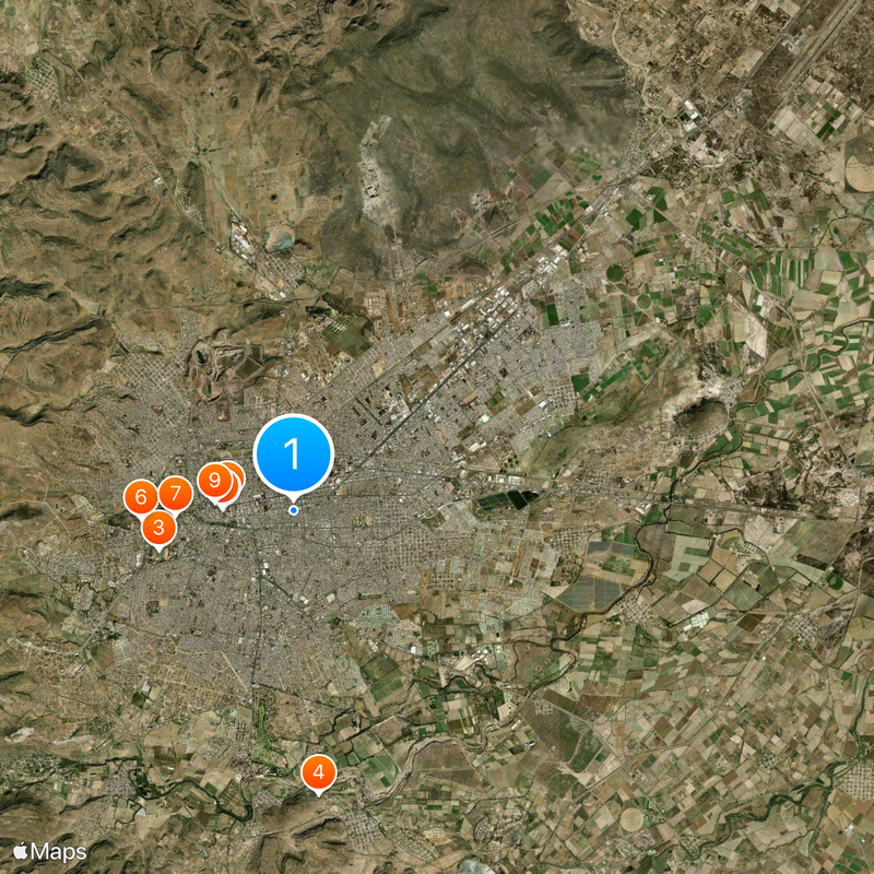
The city works well for walking in the historic quarter, which is compact and offers shaded sidewalks. Outside the center, distances can grow longer, so it helps to check transport options beforehand.
The elevation affects the climate noticeably, with cool nights even in summer and quick temperature shifts during the day. Visitors often notice the sharp difference in temperature between sun and shade when exploring the streets.
Location: Durango
Inception: 1563
Founders: Francisco de Ibarra
Elevation above the sea: 1,880 m
Website: https://municipiodurango.gob.mx
GPS coordinates: 24.02278,-104.65444
Latest update: December 4, 2025 23:42
Baluarte Bridge
125.3 km
Sanctuary of Plateros
205 km
Mexiquillo
109.7 km
Cathedral Basilica of the Immaculate Conception, Durango
1.6 km
Altavista
94.3 km
Sierra de Órganos National Park
89.9 km
Estadio Francisco Zarco
3.4 km
La Ferrería
6.9 km
Palacio de Zambrano
1.7 km
Bebeleche, Museo Interactivo de Durango
3.7 km
Francisco Villa Museum
1.7 km
Templo de San Agustín (Durango)
1.9 km
Ganot-Peschard Museum of Archeology
1.4 km
Roman Catholic Territorial Prelature of El Salto
76.7 km
Ixpalino
181.2 km
Durango volcanic field
25.1 km
Paseo Túnel Mineria Durango
1.6 km
Teatro Ricardo Castro
1.8 km
Museo de las culturas populares.
1.9 km
Alta Vista
94.3 km
Churches of Cuencamé and Cristo de Mapimí
135.2 km
Architectonic ensemble of Chalchihuites
91.6 km
Grutas del Rosario
199.3 km
Architectonic ensemble of Nazas
144.7 km
Chapel of the Refugio of the former hacienda of Cuatillos
149.2 km
Teatro Victoria
1.7 km
Historic centre of Durango
1.6 km
Historic centre of Sombrerete
112.1 kmReviews
Visited this place? Tap the stars to rate it and share your experience / photos with the community! Try now! You can cancel it anytime.
Discover hidden gems everywhere you go!
From secret cafés to breathtaking viewpoints, skip the crowded tourist spots and find places that match your style. Our app makes it easy with voice search, smart filtering, route optimization, and insider tips from travelers worldwide. Download now for the complete mobile experience.
A unique approach to discovering new places❞
— Le Figaro
All the places worth exploring❞
— France Info
A tailor-made excursion in just a few clicks❞
— 20 Minutes