Gómez Palacio Municipality, Administrative division in Durango, Mexico.
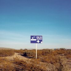
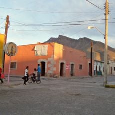
Gómez Palacio Municipality is an administrative region in northeastern Durango bordering Coahuila, containing roughly 580 smaller towns and settlements spread across the area. The region includes several industrial parks with manufacturing facilities that serve as the economic backbone.
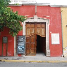
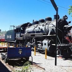
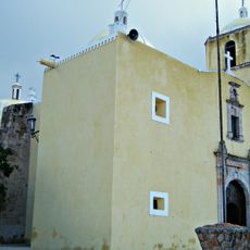
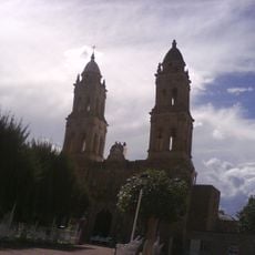
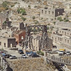
The area originated from a large estate in the seventeenth century under regional control. The transformation into a modern industrial region began in the nineteenth century with the construction of factories and water systems.
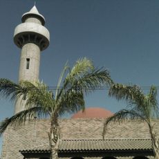
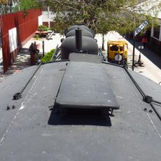
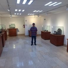
The area is defined by its manufacturing work and factory culture visible throughout. Daily life here reflects the industrial heritage through the many production facilities that shape the community.
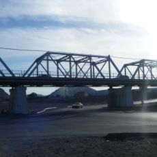
The region is accessible by road connecting the main towns, though distances between settlements can be quite large. The cooler months offer more comfortable conditions for visiting and exploring the area.
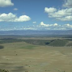
An irrigation system built in the nineteenth century made farming possible in this dry region. This network of canals and water channels still shapes how the land is used today.
GPS coordinates: 25.71151,-103.50695
Latest update: December 7, 2025 20:43
Mapimí Silent Zone
111.7 km
Cristo de las Noas
21.4 km
Sierra de Órganos National Park
220 km
Casa del Cerro, Torreón
20.2 km
Teatro Isauro Martínez
19.8 km
Suraya Mosque
18.3 km
Museo Interactivo del Acertijo
15.4 km
Ganot-Peschard Museum of Archeology
221.1 km
Durango volcanic field
198.2 km
Puente Plateado
18.8 km
Train museum
20.1 km
Museo Regional de La Laguna
20.6 km
Museo del Ferrocarril Torreón
20.1 km
Cathedral of Our Lady of Guadalupe in Gómez Palacio
15.9 km
Museo Benito Juarez
36.9 km
Museo Histórico de la Ciudad Chalet Gorosave
19.3 km
Eiffel tower replica
22.1 km
Planetarium Torreon
21.4 km
Renta de Dinosaurios para fiestas, eventos y o propaganda. Llevamos El Museo a tu Escuela
11.2 km
El Canal De La Perla Acceso Cepeda
19.8 km
Churches of Cuencamé and Cristo de Mapimí
95.6 km
Architectonic ensemble of Chalchihuites
215.8 km
Plaza Eureka
16.6 km
Ojuela mine
29.9 km
Grutas del Rosario
37.5 km
Architectonic ensemble of Nazas
81.5 km
Chapel of the Refugio of the former hacienda of Cuatillos
73.5 km
Architectonic ensemble of Mapimí
36.8 kmVisited this place? Tap the stars to rate it and share your experience / photos with the community! Try now! You can cancel it anytime.
Discover hidden gems everywhere you go!
From secret cafés to breathtaking viewpoints, skip the crowded tourist spots and find places that match your style. Our app makes it easy with voice search, smart filtering, route optimization, and insider tips from travelers worldwide. Download now for the complete mobile experience.
A unique approach to discovering new places❞
— Le Figaro
All the places worth exploring❞
— France Info
A tailor-made excursion in just a few clicks❞
— 20 Minutes