San Fernando, Residential city in San Fernando Valley, Los Angeles County, United States.
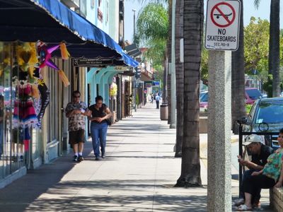
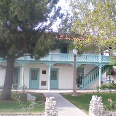
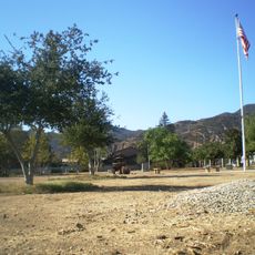
San Fernando is a small city in San Fernando Valley in Los Angeles County, surrounded by neighborhoods such as Sylmar and Pacoima. The area features residential blocks with low buildings and wide streets that shape its layout.
The city was founded in 1911 and maintained independence from Los Angeles through its own groundwater system. This control of local water resources enabled the community to remain self-governing and distinct.
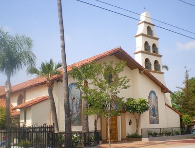
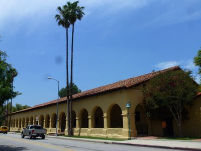
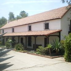
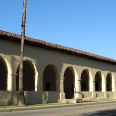
The city has a strong Hispanic community visible in street names, local celebrations, and how residents use public spaces daily. Mariachi music thrives as a living tradition passed down through generations in this part of the valley.
The city is easy to navigate on foot or by car, with wide streets that are clearly laid out. Various transportation options including electric vehicle charging stations are available throughout the area.
Although completely surrounded by Los Angeles, the city independently manages its own water resources. This autonomy allowed the community to preserve its distinct identity despite being located within a large metropolitan area.
The community of curious travelers
AroundUs brings together thousands of curated places, local tips, and hidden gems, enriched daily by 60,000 contributors worldwide.