Chest opened
+${chestReward.xp} XP
Explorer
NOUVEAU ×${chestReward.collectible.quantity}
tapez pour fermer
Chest locked

Open chests in the app

Around Us is built for your phone — chests unlock when you walk, explore and capture nearby places.

Enable Location

We need your location to show you interesting places around you

Discover nearby places

Find interesting locations and hidden gems around you

Precise directions

Get accurate directions and distances to places

Your location is never shared with other users. It's only used when you tap the location button.

Eagle Rock

Log in to your account

Start exploring — it's free

Trusted by 72,885 travelers worldwide

Continue with Google
Continue with Apple
or

We will send you a code to connect

By continuing, you accept our Terms and Conditions and our Privacy Policy

Check your inbox

We've sent a pincode in your inbox. Please enter the code below.

Discussion Reviews 1 Photos
2.6k Popularity

Eagle Rock, Residential neighborhood in Northeast Los Angeles, United States.

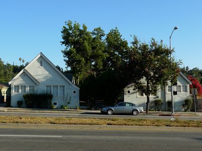
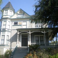
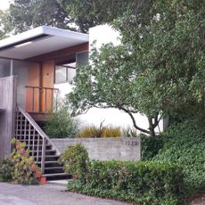
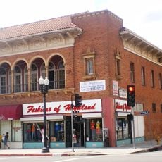
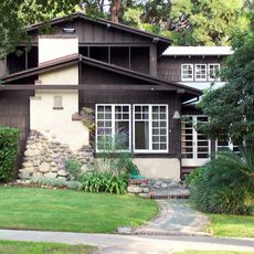
Eagle Rock is a residential neighborhood in Northeast Los Angeles characterized by a distinctive rock formation shaped like an eagle perched on the hills. The area is organized around the Colorado and Eagle Rock boulevards, which serve as main commercial and residential corridors.

The land was originally settled by the Tongva Native Americans before becoming a Spanish rancho in the colonial period. It incorporated as its own city in 1911 but was annexed by Los Angeles just 12 years later.

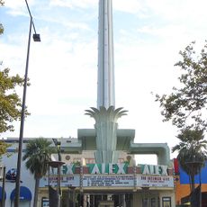
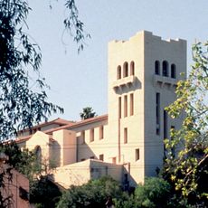
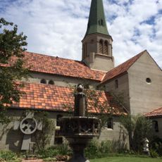
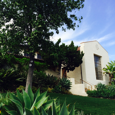
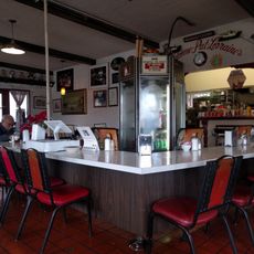
The Occidental College here, which moved to this location in 1914, remains a major anchor for student life and local activity. Walking through the neighborhood, you encounter shops and eateries that reflect the diversity of residents living in the area.

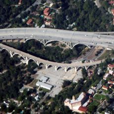
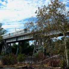
Public transit connects the neighborhood directly to downtown Los Angeles, making it accessible for visitors without a car. The wide, pedestrian-friendly boulevards are easy to navigate on foot, with ample sidewalks for exploring local shops and dining spots.

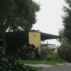
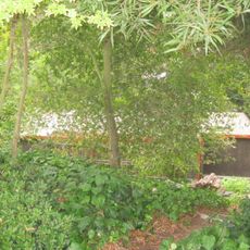
The neighborhood preserves many old oak trees from its agricultural past, when acorns were a vital food source for the Tongva people. These trees still shape the green character of streets and properties throughout the area.

The community of curious travelers

AroundUs brings together thousands of curated places, local tips, and hidden gems, enriched daily by 60,000 contributors worldwide.

Start exploring
Location
Shares border with
Pasadena
GPS coordinates
34.13889,-118.21306
Latest update
March 5, 2026 21:07
Around this place
Colorado Street Bridge
United States of America

Colorado Street Bridge

4.6 km
Alex Theatre
United States of America

Alex Theatre

4 km
Chicken Boy
United States of America

Chicken Boy

3.8 km
Museum of Neon Art
United States of America

Museum of Neon Art

3.9 km
Southwest Museum of the American Indian
United States of America

Southwest Museum of the American Indian

4.3 km
Highland Park Police Station
United States of America

Highland Park Police Station

3.3 km
Judson Studios
United States of America

Judson Studios

4.2 km
Pisgah Home Historic District
United States of America

Pisgah Home Historic District

4 km
Smith Estate
United States of America

Smith Estate

3.3 km
Constance Perkins House
United States of America

Constance Perkins House

3.3 km
Highland Park Masonic Temple
United States of America

Highland Park Masonic Temple

3.7 km
Batchelder House
United States of America

Batchelder House

4.4 km
St. Mark's Episcopal Church
United States of America

St. Mark's Episcopal Church

4.5 km
Santa Fe Arroyo Seco Railroad Bridge
United States of America

Santa Fe Arroyo Seco Railroad Bridge

4.1 km
Eagle Rock Community Cultural Center
United States of America

Eagle Rock Community Cultural Center

188 m
James Daniel Derby House
United States of America

James Daniel Derby House

2.5 km
La Loma Bridge
United States of America

La Loma Bridge

4.4 km
Glassell Park Elementary School
United States of America

Glassell Park Elementary School

4.4 km
United States of America

Glendale Main Post Office

3.7 km
Ziegler Estate
United States of America

Ziegler Estate

4.6 km
Villa Verde
United States of America

Villa Verde

4.3 km
Richard and Mary Alice Frank House
United States of America

Richard and Mary Alice Frank House

4.1 km
John Norton House
United States of America

John Norton House

3.9 km
Holly Street Bridge
United States of America

Holly Street Bridge

4.5 km
Reservoir Dogs - Pat and Lorraine's Coffee Shop
United States of America

Reservoir Dogs - Pat and Lorraine's Coffee Shop

970 m
Glendale Central Library
United States of America

Glendale Central Library

3.8 km
Eagle Rock
United States of America

Eagle Rock

2.8 km
Linda Vista Bridge
United States of America

Linda Vista Bridge

4.5 km
Show the full map
Reviews
Share your experience

No review yet

Discussions
Start a discussion...

No discussion yet

« Eagle Rock - Residential neighborhood in Northeast Los Angeles, United States » is provided by Around Us (aroundus.com). Images and texts are derived from Wikimedia project under a Creative Commons license. You are allowed to copy, distribute, and modify copies of this page, under the conditions set by the license, as long as this note is clearly visible.

Discover hidden gems everywhere you go!

From secret cafés to breathtaking viewpoints, skip the crowded tourist spots and find places that match your style. Our app makes it easy with voice search, smart filtering, route optimization, and insider tips from travelers worldwide. Download now for the complete mobile experience.

Around Us App Screenshot

A unique approach to discovering new places

Le Figaro

All the places worth exploring

France Info

A tailor-made excursion in just a few clicks

20 Minutes

Around Us
Travel Guide & Maps
Download

Send to your phone

QR Code
1

Open the camera app on your mobile.

2

Point at the QR code with your camera. A notification will appear.

3

Tap the notification to open the link.