Chest opened
+${chestReward.xp} XP
Explorer
NOUVEAU ×${chestReward.collectible.quantity}
tapez pour fermer
Chest locked

Open chests in the app

Around Us is built for your phone — chests unlock when you walk, explore and capture nearby places.

Enable Location

We need your location to show you interesting places around you

Discover nearby places

Find interesting locations and hidden gems around you

Precise directions

Get accurate directions and distances to places

Your location is never shared with other users. It's only used when you tap the location button.

Log in to your account

Start exploring — it's free

Trusted by 72,887 travelers worldwide

Continue with Google
Continue with Apple
or

We will send you a code to connect

By continuing, you accept our Terms and Conditions and our Privacy Policy

Check your inbox

We've sent a pincode in your inbox. Please enter the code below.

Rancho Bernardo
Discussion Reviews Photo
27.3k Popularity

Rancho Bernardo, Master-planned neighborhood in northern San Diego, United States.

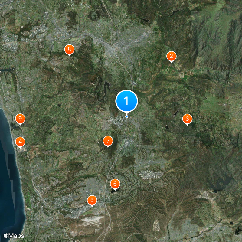
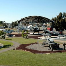
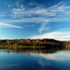
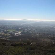
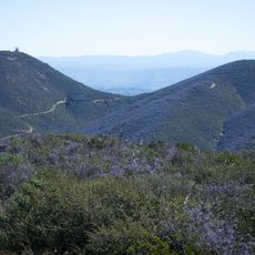
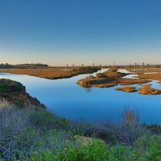
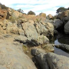
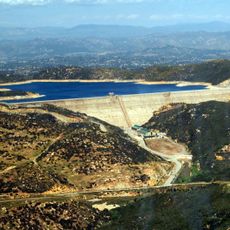
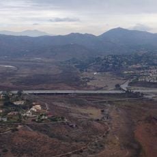
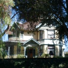
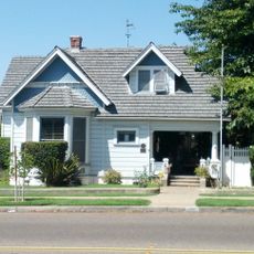
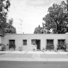
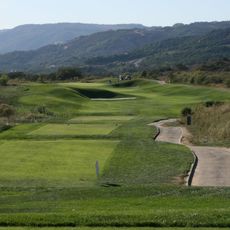
Rancho Bernardo is a master-planned neighborhood in northern San Diego that spreads across canyons and rolling hills. The area blends residential communities with shopping centers, golf courses, and contemporary office complexes.

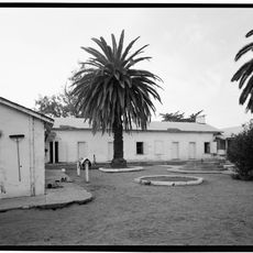
The land originated as a Mexican land grant in the 1840s before being developed into a residential community during the 1960s through annexation by San Diego. This transformation shaped its current form as a planned neighborhood.

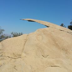
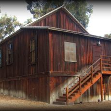
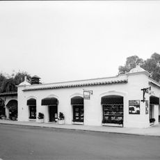
The Bernardo Winery, established in 1889, maintains its operations as the oldest wine-producing facility in the region of San Diego County.

The neighborhood is accessible via major roads connecting it to other parts of San Diego. It has abundant parking and local bus service available for getting around the area.

Bernardo Winery, founded in 1889, is the oldest operating winery in San Diego County and preserves agricultural heritage amid modern development. This historic location stands in contrast to the office parks and residential areas surrounding it.

The community of curious travelers

AroundUs brings together thousands of curated places, local tips, and hidden gems, enriched daily by 60,000 contributors worldwide.

Start exploring
Location
GPS coordinates
33.02084,-117.07890
Latest update
March 5, 2026 21:06
Around this place
San Diego Wild Animal Park
United States of America

San Diego Wild Animal Park

11.4 km
Potato Chip Rock
United States of America

Potato Chip Rock

9.9 km
Del Mar Fairgrounds
United States of America

Del Mar Fairgrounds

17.8 km
Flying Leatherneck Aviation Museum
United States of America

Flying Leatherneck Aviation Museum

15.4 km
Miramar Reservoir
United States of America

Miramar Reservoir

11.9 km
Black Mountain Open Space Park
United States of America

Black Mountain Open Space Park

5.7 km
Double Peak
United States of America

Double Peak

13.5 km
San Elijo Lagoon
United States of America

San Elijo Lagoon

17.2 km
Los Peñasquitos Canyon Preserve
United States of America

Los Peñasquitos Canyon Preserve

14.3 km
Olivenhain Dam
United States of America

Olivenhain Dam

7.8 km
Classic Rotors Museum
United States of America

Classic Rotors Museum

15.4 km
Lake Hodges Bridge
United States of America

Lake Hodges Bridge

4.4 km
Rancho Santa Maria de Los Peñasquitos
United States of America

Rancho Santa Maria de Los Peñasquitos

10.3 km
A.H. Beach House
United States of America

A.H. Beach House

10.8 km
San Dieguito River Park
United States of America

San Dieguito River Park

16.4 km
Olivenhain Town Meeting Hall
United States of America

Olivenhain Town Meeting Hall

14.7 km
Thomas House
United States of America

Thomas House

10.9 km
Rancho Santa Fe Land and Improvement Company Office
United States of America

Rancho Santa Fe Land and Improvement Company Office

11.6 km
Palomar College Arboretum
United States of America

Palomar College Arboretum

15.9 km
Casa Pearl Baker Row
United States of America

Casa Pearl Baker Row

11.5 km
Casa Charles A. Shaffer
United States of America

Casa Charles A. Shaffer

12.9 km
Casa Norman and Florence B. Carmichael
United States of America

Casa Norman and Florence B. Carmichael

9.9 km
Casa Reginald M. and Constance Clotfelter Row
United States of America

Casa Reginald M. and Constance Clotfelter Row

11.5 km
Casa Samuel Bingham
United States of America

Casa Samuel Bingham

10.3 km
Johnson-Taylor Ranch Headquarters
United States of America

Johnson-Taylor Ranch Headquarters

10.7 km
Rancho Santa Fe Golf Club
United States of America

Rancho Santa Fe Golf Club

13.2 km
MCAS Miramar Commissioned Officer's Club
United States of America

MCAS Miramar Commissioned Officer's Club

15.5 km
Heritage Park
United States of America

Heritage Park

3.6 km
Show the full map
Reviews
Share your experience

No review yet

Discussions
Start a discussion...

No discussion yet

« Rancho Bernardo - Master-planned neighborhood in northern San Diego, United States » is provided by Around Us (aroundus.com). Images and texts are derived from Wikimedia project under a Creative Commons license. You are allowed to copy, distribute, and modify copies of this page, under the conditions set by the license, as long as this note is clearly visible.

Discover hidden gems everywhere you go!

From secret cafés to breathtaking viewpoints, skip the crowded tourist spots and find places that match your style. Our app makes it easy with voice search, smart filtering, route optimization, and insider tips from travelers worldwide. Download now for the complete mobile experience.

Around Us App Screenshot

A unique approach to discovering new places

Le Figaro

All the places worth exploring

France Info

A tailor-made excursion in just a few clicks

20 Minutes

Around Us
Travel Guide & Maps
Download

Send to your phone

QR Code
1

Open the camera app on your mobile.

2

Point at the QR code with your camera. A notification will appear.

3

Tap the notification to open the link.