Chest opened
+${chestReward.xp} XP
Explorer
NOUVEAU ×${chestReward.collectible.quantity}
tapez pour fermer
Chest locked

Open chests in the app

Around Us is built for your phone — chests unlock when you walk, explore and capture nearby places.

Enable Location

We need your location to show you interesting places around you

Discover nearby places

Find interesting locations and hidden gems around you

Precise directions

Get accurate directions and distances to places

Your location is never shared with other users. It's only used when you tap the location button.

Mission Valley

Log in to your account

Start exploring — it's free

Trusted by 72,879 travelers worldwide

Continue with Google
Continue with Apple
or

We will send you a code to connect

By continuing, you accept our Terms and Conditions and our Privacy Policy

Check your inbox

We've sent a pincode in your inbox. Please enter the code below.

Mission Valley
Discussion Reviews 1 Photos
21.6k Popularity

Mission Valley, Urban valley district in San Diego, US

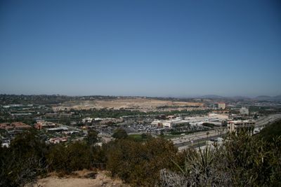
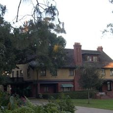
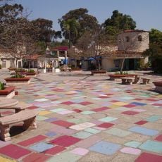
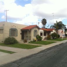
Mission Valley is an urban valley stretching along the San Diego River between surrounding hills. The area holds residential neighborhoods, shopping centers, hotels, and green spaces woven throughout its landscape.

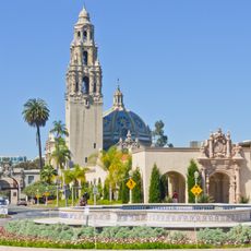
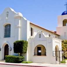
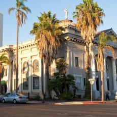
The valley took its name from Mission San Diego de Alcalá, established by Spanish settlers in 1769 as California's first mission. This founding institution shaped how the surrounding region would develop over the following centuries.

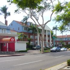
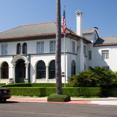
The neighborhood's mix of modern residential blocks, shopping centers, and diverse restaurants shows the varied communities that call this area home. Food and retail spaces reflect the multicultural character of San Diego's population.

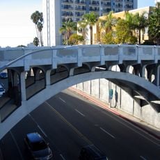
The location sits conveniently between San Diego International Airport and major freeways, with good public transportation connections throughout. This central position makes it easy to reach different parts of the city from here.

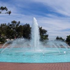
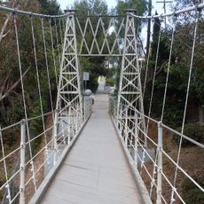
The San Diego River runs through the entire valley, creating a natural corridor with walking trails and recreational spaces in the middle of the urban area. This green strip connects different parts of the neighborhood and offers visitors a place to enjoy outdoor activities.

The community of curious travelers

AroundUs brings together thousands of curated places, local tips, and hidden gems, enriched daily by 60,000 contributors worldwide.

Start exploring
Location
GPS coordinates
32.76726,-117.14962
Latest update
March 5, 2026 21:06
Around this place
San Diego Zoo
United States of America

San Diego Zoo

3.5 km
San Diego Stadium
United States of America

San Diego Stadium

3.3 km
Snapdragon Stadium
United States of America

Snapdragon Stadium

3.2 km
The Old Globe
United States of America

The Old Globe

3.9 km
San Diego Museum of Art
United States of America

San Diego Museum of Art

3.9 km
San Diego Natural History Museum
United States of America

San Diego Natural History Museum

3.9 km
Museum of Us
United States of America

Museum of Us

4 km
UC San Diego Medical Center, Hillcrest
United States of America

UC San Diego Medical Center, Hillcrest

2.1 km
George W. Marston House
United States of America

George W. Marston House

3 km
Timken Museum of Art
United States of America

Timken Museum of Art

3.9 km
Cabrillo Bridge
United States of America

Cabrillo Bridge

4 km
California Quadrangle
United States of America

California Quadrangle

4 km
Dharma Bum Temple
United States of America

Dharma Bum Temple

1.6 km
St. Paul's Cathedral
United States of America

St. Paul's Cathedral

3.9 km
San Diego History Center
United States of America

San Diego History Center

4 km
Botanical Building
United States of America

Botanical Building

3.9 km
Lafayette Hotel & Suites in San Diego
United States of America

Lafayette Hotel & Suites in San Diego

1.6 km
Spanish Village Art Center
United States of America

Spanish Village Art Center

3.7 km
Bea Evenson Fountain
United States of America

Bea Evenson Fountain

4 km
Dryden Historic District
United States of America

Dryden Historic District

3 km
All Saints Episcopal Church
United States of America

All Saints Episcopal Church

2.6 km
May S. Marcy Sculpture Garden
United States of America

May S. Marcy Sculpture Garden

4 km
Shirley Ann Place
United States of America

Shirley Ann Place

1.3 km
Park Place Methodist Episcopal Church South
United States of America

Park Place Methodist Episcopal Church South

3.7 km
Georgia Street Bridge-Caltrans Bridge
United States of America

Georgia Street Bridge-Caltrans Bridge

2.1 km
Spruce Street Suspension Bridge
United States of America

Spruce Street Suspension Bridge

3.5 km
Puente de la Calle Georgia-Puente Caltrans
United States of America

Puente de la Calle Georgia-Puente Caltrans

2.1 km
Casa Coulter
United States of America

Casa Coulter

3.4 km
Show the full map
Reviews
Share your experience

No review yet

Discussions
Start a discussion...

No discussion yet

« Mission Valley - Urban valley district in San Diego, US » is provided by Around Us (aroundus.com). Images and texts are derived from Wikimedia project under a Creative Commons license. You are allowed to copy, distribute, and modify copies of this page, under the conditions set by the license, as long as this note is clearly visible.

Discover hidden gems everywhere you go!

From secret cafés to breathtaking viewpoints, skip the crowded tourist spots and find places that match your style. Our app makes it easy with voice search, smart filtering, route optimization, and insider tips from travelers worldwide. Download now for the complete mobile experience.

Around Us App Screenshot

A unique approach to discovering new places

Le Figaro

All the places worth exploring

France Info

A tailor-made excursion in just a few clicks

20 Minutes

Around Us
Travel Guide & Maps
Download

Send to your phone

QR Code
1

Open the camera app on your mobile.

2

Point at the QR code with your camera. A notification will appear.

3

Tap the notification to open the link.