Chest opened
+${chestReward.xp} XP
Explorer
NOUVEAU ×${chestReward.collectible.quantity}
tapez pour fermer
Chest locked

Open chests in the app

Around Us is built for your phone — chests unlock when you walk, explore and capture nearby places.

Enable Location

We need your location to show you interesting places around you

Discover nearby places

Find interesting locations and hidden gems around you

Precise directions

Get accurate directions and distances to places

Your location is never shared with other users. It's only used when you tap the location button.

Southeast San Diego

Log in to your account

Start exploring — it's free

Trusted by 72,969 travelers worldwide

Continue with Google
Continue with Apple
or

We will send you a code to connect

By continuing, you accept our Terms and Conditions and our Privacy Policy

Check your inbox

We've sent a pincode in your inbox. Please enter the code below.

Southeast San Diego
Discussion Reviews 1 Photos
25.6k Popularity

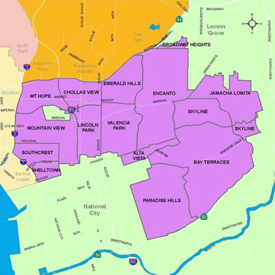
Southeast San Diego, Urban residential district in San Diego, United States.

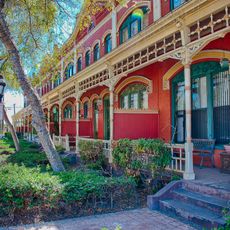
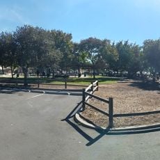
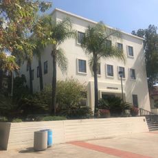
Southeast San Diego is a residential neighborhood in the southeastern part of the city with a mix of single-family homes and low-rise apartment buildings. The area comprises multiple smaller neighborhoods, each with its own character and local streets.

The neighborhood developed following a community plan established in 1969 that set guidelines for urban development. This plan served as a foundation for broader efforts to improve and modernize residential areas in the city.

The neighborhood reflects the presence of Latino, African American, and Filipino communities through local shops, gathering spaces, and street life. Walking through the area, you notice this diversity in the languages spoken and the different traditions visible in daily activities.

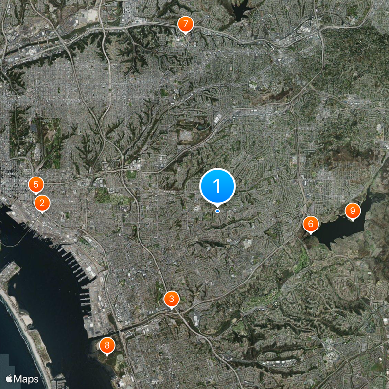
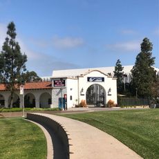
The neighborhood is accessible by car and served by local bus routes that connect to different areas. Walking through the streets is manageable, though the terrain varies and some areas are hillier than others.

Broadway and First Avenue feature an unusually diverse restaurant scene with Brazilian, Filipino, African, Chinese, and Armenian cuisines all represented. This culinary range reflects the neighborhood's cultural mix and offers visitors numerous food discoveries along these main streets.

The community of curious travelers

AroundUs brings together thousands of curated places, local tips, and hidden gems, enriched daily by 60,000 contributors worldwide.

Start exploring
Location
GPS coordinates
32.70080,-117.05500
Latest update
March 5, 2026 21:06
Around this place
Chicano Park
United States of America

Chicano Park

8.2 km
Cornerstone Church of San Diego
United States of America

Cornerstone Church of San Diego

5.1 km
Aztec Bowl
United States of America

Aztec Bowl

8.5 km
Villa Montezuma
United States of America

Villa Montezuma

8.6 km
Sweetwater Dam
United States of America

Sweetwater Dam

4.5 km
Hepner Hall
United States of America

Hepner Hall

8.5 km
Living Coast Discovery Center
United States of America

Living Coast Discovery Center

8.5 km
Sweetwater Reservoir
United States of America

Sweetwater Reservoir

6.4 km
Switzer Canyon
United States of America

Switzer Canyon

7.9 km
Hardy Memorial Tower
United States of America

Hardy Memorial Tower

8.5 km
Hubert H. Bancroft Ranch House
United States of America

Hubert H. Bancroft Ranch House

7.4 km
Granger Hall
United States of America

Granger Hall

3.8 km
Christian Fellowship Congregational Church
United States of America

Christian Fellowship Congregational Church

2.9 km
San Diego State College
United States of America

San Diego State College

8.5 km
Casa Alfred Haines
United States of America

Casa Alfred Haines

8.1 km
Brick Row
United States of America

Brick Row

5.5 km
Cal Coast Credit Union Open Air Theatre
United States of America

Cal Coast Credit Union Open Air Theatre

8.3 km
South Bay Botanic Gardens
United States of America

South Bay Botanic Gardens

8.6 km
Station and General Office, California Southern Railroad
United States of America

Station and General Office, California Southern Railroad

6.9 km
Pumpkin Station
United States of America

Pumpkin Station

4.8 km
Physical Sciences Building
United States of America

Physical Sciences Building

8.6 km
ENS Annex
United States of America

ENS Annex

8.5 km
Love Library Addition
United States of America

Love Library Addition

8.4 km
Communication Building
United States of America

Communication Building

8.6 km
Lemon Grove Park
United States of America

Lemon Grove Park

4.4 km
Administration Building
United States of America

Administration Building

8.5 km
Engineering & Interdisciplinary Sciences Complex
United States of America

Engineering & Interdisciplinary Sciences Complex

8.6 km
La Mesa Library
United States of America

La Mesa Library

7.9 km
Show the full map
Reviews
Share your experience

No review yet

Discussions
Start a discussion...

No discussion yet

« Southeast San Diego - Urban residential district in San Diego, United States » is provided by Around Us (aroundus.com). Images and texts are derived from Wikimedia project under a Creative Commons license. You are allowed to copy, distribute, and modify copies of this page, under the conditions set by the license, as long as this note is clearly visible.

Discover hidden gems everywhere you go!

From secret cafés to breathtaking viewpoints, skip the crowded tourist spots and find places that match your style. Our app makes it easy with voice search, smart filtering, route optimization, and insider tips from travelers worldwide. Download now for the complete mobile experience.

Around Us App Screenshot

A unique approach to discovering new places

Le Figaro

All the places worth exploring

France Info

A tailor-made excursion in just a few clicks

20 Minutes

Around Us
Travel Guide & Maps
Download

Send to your phone

QR Code
1

Open the camera app on your mobile.

2

Point at the QR code with your camera. A notification will appear.

3

Tap the notification to open the link.