Chest opened
+${chestReward.xp} XP
Explorer
NOUVEAU ×${chestReward.collectible.quantity}
tapez pour fermer
Chest locked

Open chests in the app

Around Us is built for your phone — chests unlock when you walk, explore and capture nearby places.

Enable Location

We need your location to show you interesting places around you

Discover nearby places

Find interesting locations and hidden gems around you

Precise directions

Get accurate directions and distances to places

Your location is never shared with other users. It's only used when you tap the location button.

Log in to your account

Start exploring — it's free

Trusted by 72,979 travelers worldwide

Continue with Google
Continue with Apple
or

We will send you a code to connect

By continuing, you accept our Terms and Conditions and our Privacy Policy

Check your inbox

We've sent a pincode in your inbox. Please enter the code below.

Discussion Reviews Photo
12.9k Popularity

Rancho San Diego, Census-designated place in San Diego County, California

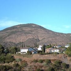
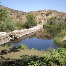
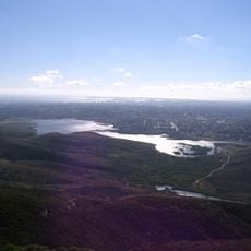
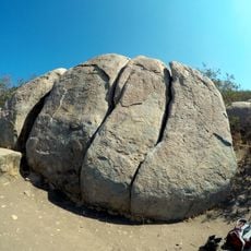
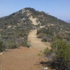
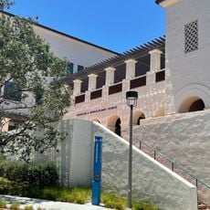
Rancho San Diego is a residential community in East County San Diego that spreads across rolling terrain with modern homes and tree-lined streets. The area sits roughly 30 minutes east of downtown and features green spaces woven between neighborhoods that give it a spacious feel.

The area was once farmland that gradually transformed into residential neighborhoods beginning in the 1970s as the San Diego region expanded eastward. This shift reshaped the landscape from agricultural land into suburban communities with schools and local services.

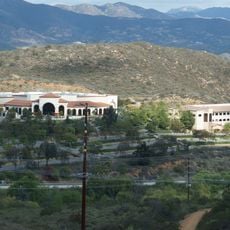
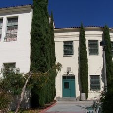
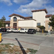
The community maintains multiple educational institutions within the Grossmont Union High School District, including Steele Canyon and Valhalla High School.

The area is straightforward to navigate, with clear street grids and good signage to help visitors find their way. Most destinations are accessible by car and parking is readily available throughout the neighborhoods.

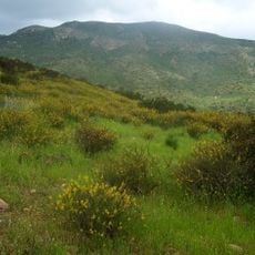
County Service Area Number 26 manages the maintenance of landscapes and open spaces throughout this unincorporated residential community.

The community of curious travelers

AroundUs brings together thousands of curated places, local tips, and hidden gems, enriched daily by 60,000 contributors worldwide.

Start exploring
Location
Elevation above the sea
110 m
GPS coordinates
32.76611,-116.92139
Latest update
December 7, 2025 20:42
Around this place
Cowles Mountain
United States of America

Cowles Mountain

11.6 km
Mission Trails Regional Park
United States of America

Mission Trails Regional Park

14.1 km
Skyline Church
United States of America

Skyline Church

3.9 km
Lake Murray
United States of America

Lake Murray

11.7 km
Aztec Bowl
United States of America

Aztec Bowl

14.1 km
Marshal Scotty's Playland Park
United States of America

Marshal Scotty's Playland Park

9.2 km
Sweetwater Dam
United States of America

Sweetwater Dam

11.6 km
San Miguel Mountain
United States of America

San Miguel Mountain

7.9 km
Hepner Hall
United States of America

Hepner Hall

14.1 km
Museum of Creation and Earth History
United States of America

Museum of Creation and Earth History

9.5 km
Old Mission Dam
United States of America

Old Mission Dam

14 km
Sweetwater Reservoir
United States of America

Sweetwater Reservoir

9.9 km
Hardy Memorial Tower
United States of America

Hardy Memorial Tower

14.1 km
Hubert H. Bancroft Ranch House
United States of America

Hubert H. Bancroft Ranch House

7.1 km
Loveland Dam
United States of America

Loveland Dam

12 km
Edgemoor Farm Dairy Barn
United States of America

Edgemoor Farm Dairy Barn

9.7 km
Santee Boulders
United States of America

Santee Boulders

13.2 km
McGinty Mountain
United States of America

McGinty Mountain

5.9 km
Creation & Earth History Museum & Bookstore
United States of America

Creation & Earth History Museum & Bookstore

9.5 km
Jardín Ahorrador de Agua en el Cuyamaca College
United States of America

Jardín Ahorrador de Agua en el Cuyamaca College

2.9 km
San Diego State College
United States of America

San Diego State College

14.1 km
Physical Sciences Building
United States of America

Physical Sciences Building

14.1 km
Museum
United States of America

Museum

3.1 km
Love Library Addition
United States of America

Love Library Addition

14 km
Lemon Grove Park
United States of America

Lemon Grove Park

10.3 km
Administration Building
United States of America

Administration Building

14 km
Engineering & Interdisciplinary Sciences Complex
United States of America

Engineering & Interdisciplinary Sciences Complex

14 km
La Mesa Library
United States of America

La Mesa Library

9.5 km
Show the full map
Reviews
Share your experience

No review yet

Discussions
Start a discussion...

No discussion yet

« Rancho San Diego - Census-designated place in San Diego County, California » is provided by Around Us (aroundus.com). Images and texts are derived from Wikimedia project under a Creative Commons license. You are allowed to copy, distribute, and modify copies of this page, under the conditions set by the license, as long as this note is clearly visible.

Discover hidden gems everywhere you go!

From secret cafés to breathtaking viewpoints, skip the crowded tourist spots and find places that match your style. Our app makes it easy with voice search, smart filtering, route optimization, and insider tips from travelers worldwide. Download now for the complete mobile experience.

Around Us App Screenshot

A unique approach to discovering new places

Le Figaro

All the places worth exploring

France Info

A tailor-made excursion in just a few clicks

20 Minutes

Around Us
Travel Guide & Maps
Download

Send to your phone

QR Code
1

Open the camera app on your mobile.

2

Point at the QR code with your camera. A notification will appear.

3

Tap the notification to open the link.