Chest opened
+${chestReward.xp} XP
Explorer
NOUVEAU ×${chestReward.collectible.quantity}
tapez pour fermer

See the monuments around you in AR Open chests in the app

Around Us is built for your phone — point your camera at the streets and discover the monuments and places around you in augmented reality. Around Us is built for your phone — chests unlock when you walk, explore and capture nearby places.

Enable Location

We need your location to show you interesting places around you

Discover nearby places

Find interesting locations and hidden gems around you

Precise directions

Get accurate directions and distances to places

Your location is never shared with other users. It's only used when you tap the location button.

Aliso Creek

Log in to your account

Start exploring — it's free

Trusted by 86,410 travelers worldwide

Continue with Google
Continue with Apple
or

We will send you a code to connect

By continuing, you accept our Terms and Conditions and our Privacy Policy

Check your inbox

We've sent a pincode in your inbox. Please enter the code below.

Aliso Creek
Discussion Reviews 1 Photos
21.5k Popularity

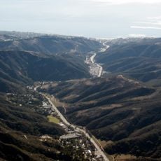
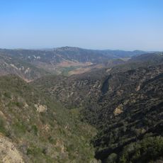
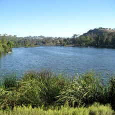
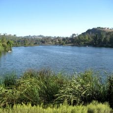
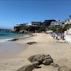
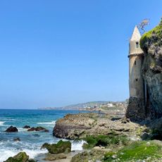
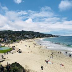
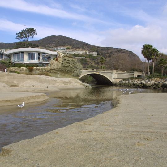
Aliso Creek, Natural river in Orange County, California.

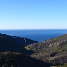
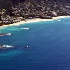
Aliso Creek is a river in Orange County, California, that flows from the Cleveland National Forest to the Pacific coast. It passes through multiple communities and reaches the ocean at Laguna Beach.

The creek once marked a boundary between Native American tribal lands before Spanish exploration of the region in the 1700s. This waterway influenced early settlement patterns in Orange County.

The name originates from the Spanish word for alder or sycamore trees that grew along the water course during the Mexican land grant period.

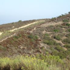
The creek is accessible from various parks and public areas where visitors can walk along the banks. The best time to visit is after rainfall, when water levels are higher and the waterway is more active.

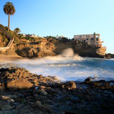
Near the mouth where it meets the ocean, natural waves form under specific conditions when a sand bar interacts with the flowing water. This unusual occurrence creates movement patterns that catch the attention of those passing by.

The community of curious travelers

AroundUs brings together thousands of curated places, local tips, and hidden gems, enriched daily by 60,000 contributors worldwide.
Start exploring
Location
Shares border with
Santiago Creek
GPS coordinates
33.51060,-117.75300
Latest update
September 11, 2026 23:20
Around this place
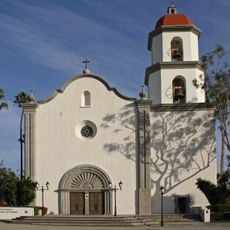
Mission San Juan Capistrano
United States of America

Mission San Juan Capistrano

5.2 mi
Mission Basilica San Juan Capistrano
United States of America

Mission Basilica San Juan Capistrano

5.2 mi
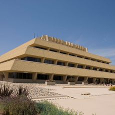
Chet Holifield Federal Building
United States of America

Chet Holifield Federal Building

4.2 mi
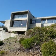
Hangover House
United States of America

Hangover House

0.3 mi
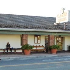
El Adobe de Capistrano
United States of America

El Adobe de Capistrano

5.2 mi
Laguna Canyon
United States of America

Laguna Canyon

3.8 mi
Laguna Coast Wilderness Park
United States of America

Laguna Coast Wilderness Park

4.6 mi
Aliso and Wood Canyons Regional Park
United States of America

Aliso and Wood Canyons Regional Park

2.3 mi
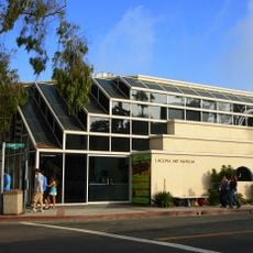
Laguna Art Museum
United States of America

Laguna Art Museum

3.1 mi
Aliso Canyon
United States of America

Aliso Canyon

0 ft
Los Rios Street Historic District
United States of America

Los Rios Street Historic District

5.2 mi
Laguna Niguel Lake
United States of America

Laguna Niguel Lake

3.8 mi
Laguna Niguel Regional Park
United States of America

Laguna Niguel Regional Park

3.7 mi
Salt Creek Beach
United States of America

Salt Creek Beach

2.7 mi
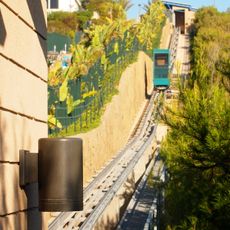
Strand Beach Funicular
United States of America

Strand Beach Funicular

3.6 mi
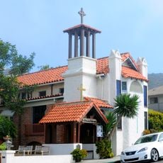
St. Francis by-the-Sea American Catholic Church
United States of America

St. Francis by-the-Sea American Catholic Church

2.7 mi
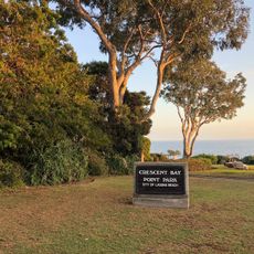
Crescent Bay Point Park
United States of America

Crescent Bay Point Park

3.9 mi
Richard Egan House
United States of America

Richard Egan House

5.3 mi
Aliso Beach
United States of America

Aliso Beach

390 ft
Roger Y. Williams House
United States of America

Roger Y. Williams House

4.8 mi
Table Rock Beach
United States of America

Table Rock Beach

0.7 mi
Woods Cove
United States of America

Woods Cove

1.5 mi
Victoria Beach
United States of America

Victoria Beach

0.6 mi
Main Beach
United States of America

Main Beach

2.8 mi
Moss Point
United States of America

Moss Point

1.4 mi
Dana Point
United States of America

Dana Point

4.1 mi
Dawson Cole Fine Art
United States of America

Dawson Cole Fine Art

2.8 mi
Coast Royale Beach
United States of America

Coast Royale Beach

0.5 mi
Show the full map
Reviews
Share your experience

No review yet

Discussions
Start a discussion...

No discussion yet

« Aliso Creek - Natural river in Orange County, California » is provided by Around Us (aroundus.com). Images and texts are derived from Wikimedia project under a Creative Commons license. You are allowed to copy, distribute, and modify copies of this page, under the conditions set by the license, as long as this note is clearly visible.

Discover hidden gems everywhere you go!

From secret cafés to breathtaking viewpoints, skip the crowded tourist spots and find places that match your style. Our app makes it easy with voice search, smart filtering, route optimization, and insider tips from travelers worldwide. Download now for the complete mobile experience.
Around Us App Screenshot

A unique approach to discovering new places

Le Figaro

All the places worth exploring

France Info

A tailor-made excursion in just a few clicks

20 Minutes

Around Us
Travel Guide & Maps
Download

Send to your phone

QR Code
1

Open the camera app on your mobile.

2

Point at the QR code with your camera. A notification will appear.

3

Tap the notification to open the link.