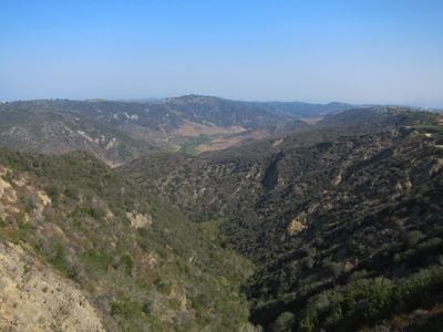
Aliso Canyon, Natural gas storage facility in Santa Susana Mountains, California.
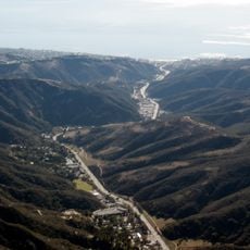
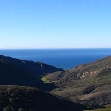
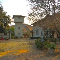
Aliso Canyon is a canyon in the Santa Susana Mountains of Southern California, known primarily as the site of a large underground natural gas storage facility. The canyon sits in hilly terrain north of Los Angeles, where industrial infrastructure is built into the surrounding landscape.
The area was first developed as an oil field in 1938 and later converted into a gas storage site by Southern California Gas Company. The underground cavities left by oil extraction were repurposed to hold natural gas reserves.
Aliso Canyon is widely known among residents of nearby Porter Ranch because of the 2015 gas leak, which forced many families to leave their homes for months. The name of the canyon is now strongly associated with concerns about air quality and public health in the area.
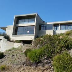
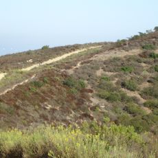
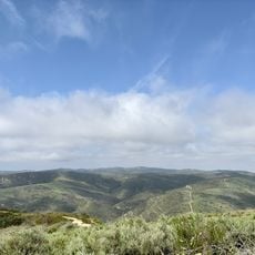
The facility itself is closed to the public and operates as an active industrial site. The surrounding hills of the Santa Susana Mountains can be explored on nearby trails if you are interested in the broader landscape.
The 2015 leak lasted several months and is considered one of the largest methane releases in US history. The amount of gas that escaped was compared to the annual greenhouse gas output of hundreds of thousands of cars.
The community of curious travelers
AroundUs brings together thousands of curated places, local tips, and hidden gems, enriched daily by 60,000 contributors worldwide.