Santa Ana

Log in to your account

AroundUs is a community-driven map of interesting places, built by curious explorers like you. It grows with every review, story, and photo you share.
Connect to save your favorite spots, contribute locations, and create personalized routes.
By continuing, you accept our Terms and Conditions and our Privacy Policy
Add to collection
Map
Suggest a change
Share

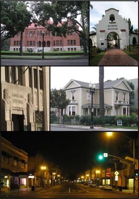
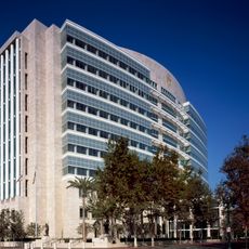
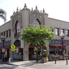
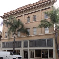
Santa Ana, Large urban center in Orange County, United States

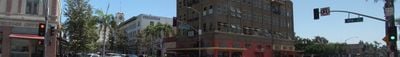
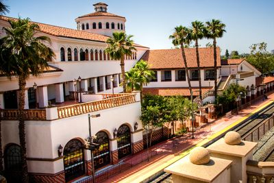
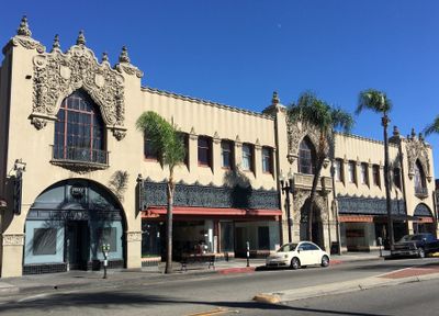
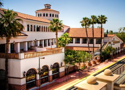
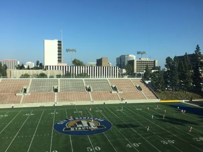
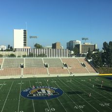
Santa Ana sits at the base of the mountains of the same name in Orange County and spreads across a wide urban area where residential districts surround a business center. The streets follow a regular grid, interrupted by highways that connect the city with Los Angeles and other neighboring towns.

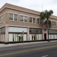
William Spurgeon purchased the land in 1869 and founded the settlement, which grew rapidly after the rail connection to Los Angeles opened in 1878. During the 20th century it developed into an industrial and commercial hub in southern California.

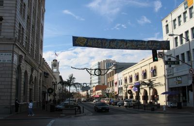
The name comes from the nearby mountain range and refers to Saint Anne, the patron of the city. In many neighborhoods you will hear Spanish spoken, while parks and public plazas serve as gathering spots for weekend meals and meetings.

The city runs along several main highways, so moving around by car is generally easy, although traffic jams can occur during rush hours. Public transport connects different neighborhoods, but a vehicle remains the most practical choice for longer distances.

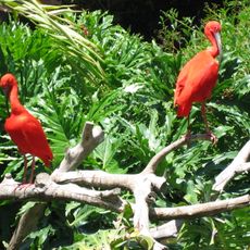
The zoo in Prentice Park was founded with the condition of always keeping at least 50 monkeys, as stipulated in the founder's will. This requirement is still honored today and shapes the character of the facility.

Location: Orange County

Inception: 1869

Elevation above the sea: 35 m

Part of: Inland Cities

Shares border with: Irvine, Costa Mesa, Fountain Valley, Garden Grove, Orange, Tustin

Website: https://santa-ana.org

GPS coordinates: 33.74083,-117.88139

Latest update: December 4, 2025 14:20

Photos
Around this place
Show the full map
Angel Stadium of Anaheim
United States of America

Angel Stadium of Anaheim

6.6 km
Crystal Cathedral
United States of America

Crystal Cathedral

5.4 km
South Coast Plaza
United States of America

South Coast Plaza

5.6 km
Shepherd's Grove Presbyterian Church
United States of America

Shepherd's Grove Presbyterian Church

5.4 km
Bowers Museum
United States of America

Bowers Museum

2.8 km
Discovery Science Center
United States of America

Discovery Science Center

3.5 km
Santa Ana Stadium
United States of America

Santa Ana Stadium

1.1 km
Santa Ana Zoo
United States of America

Santa Ana Zoo

3.5 km
Crystal Cathedral organ
United States of America

Crystal Cathedral organ

5.4 km
South Coast Repertory
United States of America

South Coast Repertory

5.4 km
Mile Square Regional Park
United States of America

Mile Square Regional Park

6.2 km
City National Grove of Anaheim
United States of America

City National Grove of Anaheim

7 km
Yost Theater
United States of America

Yost Theater

1.7 km
Old Towne Orange Historic District
United States of America

Old Towne Orange Historic District

5.6 km
Downtown Santa Ana Historic Districts
United States of America

Downtown Santa Ana Historic Districts

1.5 km
Pao Fa Temple
United States of America

Pao Fa Temple

7.2 km
Howe-Waffle House and Carriage House
United States of America

Howe-Waffle House and Carriage House

1.8 km
Islamic Center of Orange County
United States of America

Islamic Center of Orange County

7.3 km
Ronald Reagan Federal Building and Courthouse
United States of America

Ronald Reagan Federal Building and Courthouse

1.3 km
Encore Dinner Theatre
United States of America

Encore Dinner Theatre

5.3 km
Lewis Ainsworth House
United States of America

Lewis Ainsworth House

6 km
Santora Building
United States of America

Santora Building

1.3 km
First Baptist Church of Orange
United States of America

First Baptist Church of Orange

5.8 km
Odd Fellows Hall
United States of America

Odd Fellows Hall

1.6 km
Lydia D. Killefer School
United States of America

Lydia D. Killefer School

6.6 km
Cypress Street Schoolhouse
United States of America

Cypress Street Schoolhouse

5.6 km
C. Z. Culver House
United States of America

C. Z. Culver House

5.6 km
Builders Exchange Building
United States of America

Builders Exchange Building

1.5 km
Show the full map
Reviews

Visited this place? Tap the stars to rate it and share your experience / photos with the community! Try now! You can cancel it anytime.

« Santa Ana - Large urban center in Orange County, United States » is provided by Around Us (aroundus.com). Images and texts are derived from Wikimedia project under a Creative Commons license. You are allowed to copy, distribute, and modify copies of this page, under the conditions set by the license, as long as this note is clearly visible.

Discover hidden gems everywhere you go!

From secret cafés to breathtaking viewpoints, skip the crowded tourist spots and find places that match your style. Our app makes it easy with voice search, smart filtering, route optimization, and insider tips from travelers worldwide. Download now for the complete mobile experience.

Around Us App Screenshot

A unique approach to discovering new places

Le Figaro

All the places worth exploring

France Info

A tailor-made excursion in just a few clicks

20 Minutes