Baldwin Park

Log in to your account

AroundUs is a community-driven map of interesting places, built by curious explorers like you. It grows with every review, story, and photo you share.
Connect to save your favorite spots, contribute locations, and create personalized routes.
Continue with Google
Continue with Apple
Continue with X
Continue with Facebook
Continue with email
By continuing, you accept our Terms and Conditions and our Privacy Policy
Create an account
Add to collection
Map
Suggest a change
Share

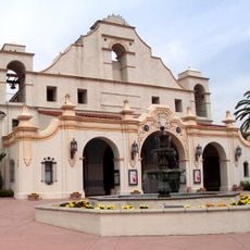
Baldwin Park, Residential city in Los Angeles County, California, US.

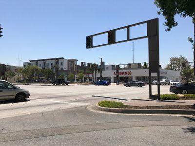
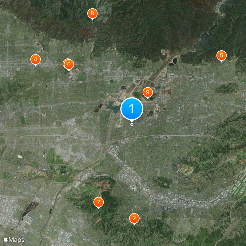
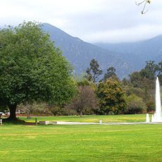
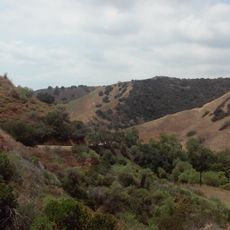
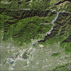
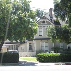
Baldwin Park is a small city in the eastern part of the San Gabriel Valley in California, around 14 miles east of downtown Los Angeles. The streets follow a grid pattern, lined with residential blocks, small parks, and low-rise apartment complexes that house a mix of families and working commuters.

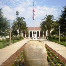
The area first served as grazing land for the San Gabriel Mission and was settled starting in 1860 under the name Vineland, before being renamed in 1906 after landowner Baldwin. The city was officially incorporated in 1956 as the population grew rapidly and farming declined.

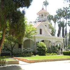
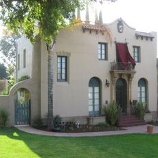
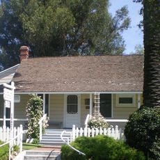
The name comes from Elias Jackson Baldwin, called Lucky, a 19th-century businessman who owned land here and ran a racetrack. Today the city feels like a typical Southern California residential neighborhood, with wide streets, small single-family homes with yards, and shopping strips along the main roads.

The place sits close to several freeways, so reaching it by car is easy, while public buses connect to neighboring cities. First-time visitors find their way around quickly because the streets follow a regular pattern and the center stays manageable.

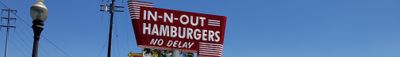
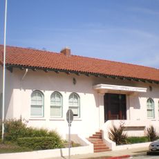
The first In-N-Out restaurant with drive-through service in California opened here on October 22, 1948, marking the start of a statewide fast-food format. Today a small museum stands on the same spot, recalling that moment with old photographs and promotional material on display.

Location: Los Angeles County

Inception: 1880

Elevation above the sea: 114 m

Shares border with: Irwindale, Avocado Heights, City of Industry, West Puente Valley, West Covina, El Monte

Website: http://baldwinpark.com

GPS coordinates: 34.08278,-117.97111

Latest update: December 13, 2025 19:45

Photos
Around this place
Hsi Lai Temple
United States of America

Hsi Lai Temple

11.9 km
Los Angeles County Arboretum and Botanic Garden
United States of America

Los Angeles County Arboretum and Botanic Garden

10.1 km
Doo Dah Parade
United States of America

Doo Dah Parade

13.5 km
Rubel Castle
United States of America

Rubel Castle

13.1 km
Queen Anne Cottage and Coach Barn
United States of America

Queen Anne Cottage and Coach Barn

9.9 km
Turnbull Canyon
United States of America

Turnbull Canyon

10.7 km
Chantry Flat
United States of America

Chantry Flat

13.4 km
Santa Fe Dam Recreation Area
United States of America

Santa Fe Dam Recreation Area

3.7 km
Santa Fe Dam
United States of America

Santa Fe Dam

3.7 km
Huntington Desert Garden
United States of America

Huntington Desert Garden

13.7 km
Morris Dam
United States of America

Morris Dam

13.2 km
Workman and Temple Family Homestead Museum
United States of America

Workman and Temple Family Homestead Museum

7 km
Morris Reservoir
United States of America

Morris Reservoir

13.2 km
Upton Sinclair House
United States of America

Upton Sinclair House

9.2 km
Old North Church
United States of America

Old North Church

11.9 km
Jonathan Bailey House
United States of America

Jonathan Bailey House

12.3 km
Vincent Lugo Park
United States of America

Vincent Lugo Park

12.3 km
San Gabriel Mission Playhouse
United States of America

San Gabriel Mission Playhouse

12.8 km
John A. Rowland House
United States of America

John A. Rowland House

8.1 km
Desert Garden Conservatory
United States of America

Desert Garden Conservatory

13.7 km
Pio Pico State Historic Park
United States of America

Pio Pico State Historic Park

13.5 km
Azusa Civic Center
United States of America

Azusa Civic Center

8.4 km
El Campo Santo Cemetery
United States of America

El Campo Santo Cemetery

7.2 km
National Bank of Whittier Building
United States of America

National Bank of Whittier Building

13 km
Standard Oil Building
United States of America

Standard Oil Building

13.3 km
The Oaks
United States of America

The Oaks

8.6 km
Santa Fe Dam Nature Center
United States of America

Santa Fe Dam Nature Center

4.7 km
Skyrose Chapel
United States of America

Skyrose Chapel

9.3 km
Show the full map
Reviews

Visited this place? Tap the stars to rate it and share your experience / photos with the community! Try now! You can cancel it anytime.

« Baldwin Park - Residential city in Los Angeles County, California, US » is provided by Around Us (aroundus.com). Images and texts are derived from Wikimedia project under a Creative Commons license. You are allowed to copy, distribute, and modify copies of this page, under the conditions set by the license, as long as this note is clearly visible.

Discover hidden gems everywhere you go!

From secret cafés to breathtaking viewpoints, skip the crowded tourist spots and find places that match your style. Our app makes it easy with voice search, smart filtering, route optimization, and insider tips from travelers worldwide. Download now for the complete mobile experience.

Around Us App Screenshot

A unique approach to discovering new places

Le Figaro

All the places worth exploring

France Info

A tailor-made excursion in just a few clicks

20 Minutes